What is recorded here
No visible entrance or interior remains. The site has disappeared under grass, soil or forgotten change. What is left is absence: a shape no longer visible, a life no longer measurable. The land keeps the difference even when the people stop remembering it.
Near the S end of a flat ridge which rises towards the N, in pasture with rock outcrop close to the surface. Land drops away sharply from E-S-W to a series of small valleys. There are good to fair views in all directions. Ringfort identified on GSI aerial photograph (S 454). A roughly circular level area (diam. 26m N-S; 28m E-W) enclosed by an earth and stone bank (Wth 2-3m; int. H 0.5m; ext. H 0.3m). The flat interior is lower than the surrounding field level. There is an entrance (Wth 2m) in the S quadrant.
Compiled by: Jean Farrelly
Date of upload: 21 January 2020
The monument record does not grant public access. Check the route and ask the landowner before entering private land.
- What survives
- Recorded monument
Places near here
 Enclosure in Tubbrid UpperEnclosure · 489 yd
 Tubbrid Upper RingfortArchaeological place · 687 yd
 Tubbrid Castle (in ruins)Castle, tower house · 928 yd
 Church (in Ruins)Church · 1039 yd
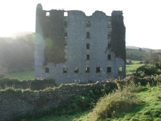 Clomantagh Millsmill (water) · 1.0 mi
 Kildrinagh WoodForest · 1.3 mi
 CastleCastle, ringwork · 1.5 mi
 Clomantagh HillMountain / peak · 2.8 mi
 Deerpark WoodWood · 4.3 mi
 John HelyMemorial · 4.5 mi
 DelaneyMemorial · 4.7 mi
 Bregaun HillMountain / peak · 6.3 mi