
What is recorded here
On fairly flat land on the E side of a valley running NW-SE, in reclaimed grassland. Immediately W of the enclosure the valley sides drop very steeply to the valley floor. There are fair to good views in all directions.
Indicated on the 1st (1839) ed. OS 6-inch map as a circular enclosure with a field boundary running NW-SE from the NW into the centre and another running from the centre outward towards the NE. On the 1900 revision and 25-inch OS map the bank of this circular enclosure (diam. c. 36m) is missing in the NW and SE sector and another field boundary is indicated running from the centre outwards towards the SE. There are a number of small quarries in the vicinity indicated on the OS maps. Though somewhat disturbed by quarrying, and quite overgrown, the enclosure is visible on satellite imagery (Digitalglobe, viewed 23 March 2020).
Compiled by: Jean Farrelly
Date of upload: 23 March 2020
The monument record does not grant public access. Check the route and ask the landowner before entering private land.
- What survives
- Recorded monument
Places near here
 Tubbrid Upper RingfortArchaeological place · 1177 yd
 Monabrogue RingfortArchaeological place · 1296 yd
 Tubbrid Castle (in ruins)Castle, tower house · 1379 yd
 Church (in ruins)Church · 1.1 mi
 Kildrinagh WoodForest · 1.3 mi
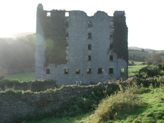 Clomantagh Millsmill (water) · 1.3 mi
 Killahy Castle in ruinsCastle, unclassified · 1.4 mi
 The CopseWood · 2.3 mi
 Clomantagh HillMountain / peak · 3.1 mi
 John HelyMemorial · 4.8 mi
 DelaneyMemorial · 4.9 mi
 Kilcooly AbbeyHeritage attraction · 5.0 mi
Other information
Photo: Credit not shown in the picture search · Rights wording not checked; contact us if this picture should be removed