What is recorded here
No visible trace remains at Trusklieve, though local memory insists a ringfort once stood there. People called it a fairy fort, which means human hands built it before forgetting or belief took it back. Earth, rain and time erased the ridge, but the name still points to a lost shape in County Clare.
The Archaeological Survey of Ireland (ASI) is in the process of providing information on all monuments on The Historic Environment Viewer (HEV). Currently the information for this record has not been uploaded. To access available information for research purposes please make an appointment in advance with the Archive Unit (open Fridays 10.00 am – 5.00 pm), Department of Housing, Local Government and Heritage, The Custom House, Dublin 1 D01W6XO or email NMarchive@housing.gov.ie.
The monument record does not grant public access. Check the route and ask the landowner before entering private land.
- What survives
- Recorded monument
Places near here
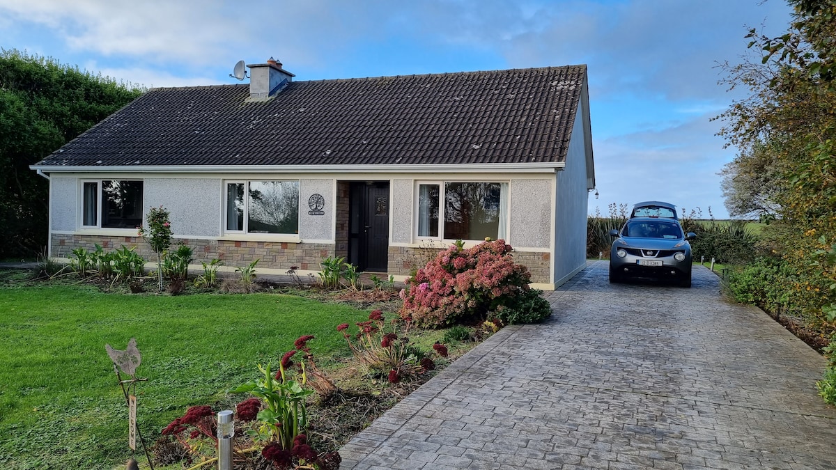 LisroeFairy fort / earthen ringfort · 684 yd
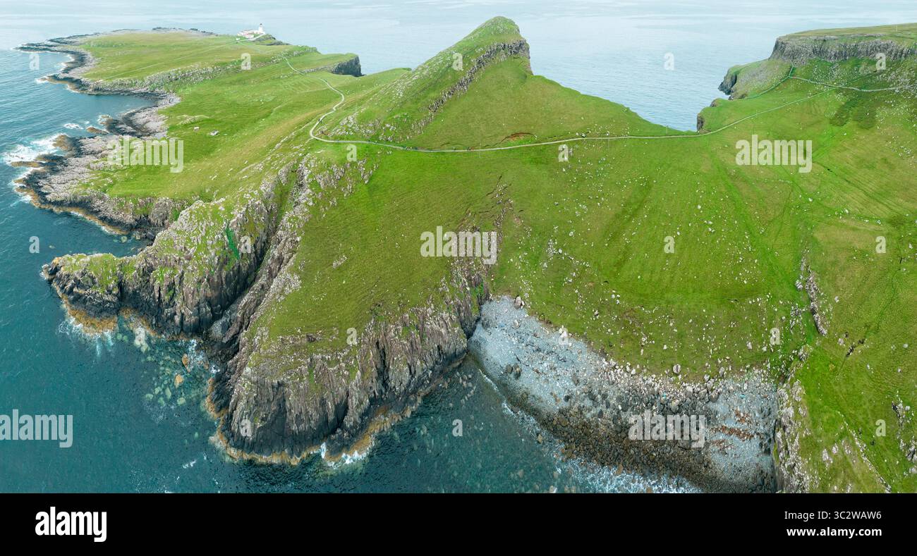 Promontory fortPromontory fort, coastal · 771 yd
 Tullig PointHeadland · 1.0 mi
 Knocknagarhoon CastleRuins · 1.6 mi
 Knocknagarhoon Signal TowerRuins · 1.6 mi
 Religious houseReligious house, unclassified · 1.6 mi
 Cloghaunsavaun Castle (Site of)Castle, unclassified · 2.9 mi
 IllaunonearaunIslet · 3.0 mi
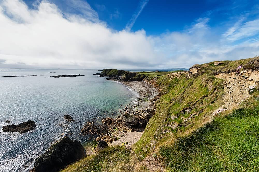 Rinevella PointHeadland · 3.3 mi
 Ocean Rowers MemorialMemorial · 3.4 mi
 Dunlicky PointViewpoint · 3.6 mi
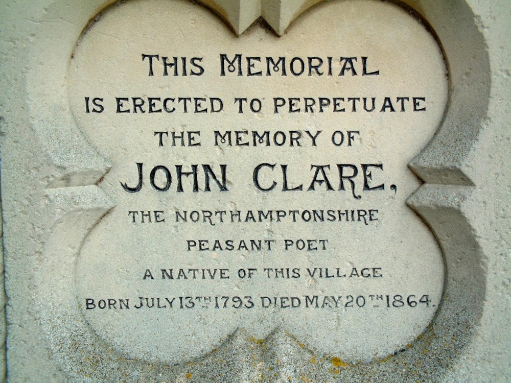 Memorial PlaqueMemorial · 3.6 mi