What is recorded here
The earthen ringfort in Trienearagh, County Kerry, is a semi-circular rath with an internal diameter of 17m E-W. A wide bank, 5m to 10.6m at the base, rises 0.6m above the interior and 1m above a shallow fosse. Only the western, northern and eastern arc remains visible; the rest has dissolved into the land. What is left feels less like a ruin than a suggestion, as if the fort is still deciding how much of itself to show.
Internal diameter 17m E-W
Only a small portion of this rath survives, to the W through N to E; nothing can be distinguished elsewhere. It consists of a semi-circular area enclosed by a very low, wide bank 5m-10.6m wide at the base. It rises to .6m above the interior and 1m above the fosse. The fosse can be noted to the W through N to NE where it is c 2m wide and .6m deep.
The above description is derived from C. Toal, ‘North Kerry Archaeological Survey’. Dingle. Brandon in association with FAS Training and Employment Authority (1995), no. 441. In certain instances the entries have been revised and updated in the light of recent research.
Date of upload: 2 August 2013
The monument record does not grant public access. Check the route and ask the landowner before entering private land.
- What survives
- Recorded monument
Places near here
 CastleCastle, tower house · 1661 yd
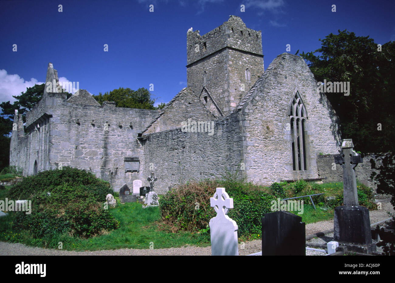 Enclosure in KilmeanyEnclosure · 1.2 mi
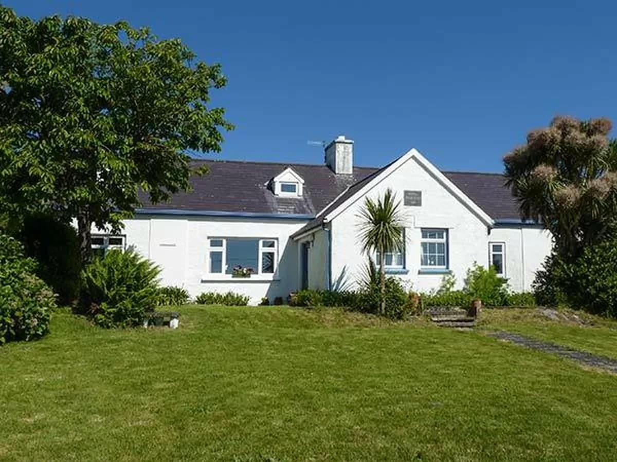 CahergalArchaeological place · 1.3 mi
 John B. KeaneMemorial · 2.0 mi
 Holocaust MemorialMemorial · 2.0 mi
 Listowel Bridgebridge · 2.1 mi
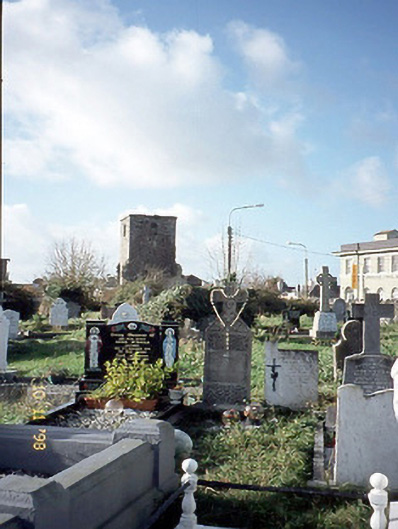 church/chapelchurch/chapel · 2.2 mi
 Kerry Writers' MuseumMuseum · 2.4 mi
 Listowel Castle (in ruins)Castle, tower house · 2.4 mi
 Lartigue MonorailMuseum · 2.7 mi
 KnockanoreMountain / peak · 9.6 mi
 Siege of Carrigafoyle Castlesiege · 9.7 mi