What is recorded here
Trevet Grange holds a forgotten ringfort where a grassy inner circle, broad fosse and outer bank still trace a deliberate boundary on a slight Meath rise. It is the kind of place people once shaped for residence, ritual or refusal, yet it vanished from standard maps and survives only in satellite images and local memory. The fairness of its lines suggests human pride, while the fairy name warns that pride may have belonged to someone else.
Situated on a slight rise in a fairly level landscape. This monument is not depicted on any OS map but it is visible on OSI images (2005) and on Google Earth (07/05/2017; 27/06/2019; 14/05/2020). It is a grass-covered slightly raised circular area (diam. of top 38.5m NNW-SSE; 35m ENE-WSW; H 0.2-0.6m) separated by a fosse (Wth of top 11m at NE to 18m at SW) from an outer bank (Wth of base 4-8m; H 0.2-0.3m). There is a causeway (Wth of top 5.5m; H 0.2m) across the fosse at ESE (max. ext. diam. c. 65m NE-SW).
See the attached enhanced view from Google Earth (07/05/2017)
The above description is derived from the published 'Archaeological Inventory of County Meath' (Dublin: Stationery Office, 1987). In certain instances the entries have been revised and updated in the light of recent research.
Compiled by: Michael Moore
Date of upload: 10 July 2007
Amended: 13 April, 2022
The monument record does not grant public access. Check the route and ask the landowner before entering private land.
- What survives
- Recorded monument
Places near here
 Enclosure in TrevetEnclosure · 1.1 mi
 Enclosure in GarretstownEnclosure · 1.8 mi
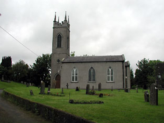 Saint Seachnall's Church (Dunshaughlin)church/chapel · 2.0 mi
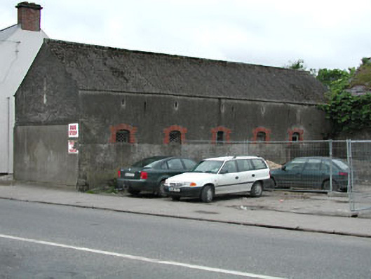 outbuildingoutbuilding · 2.1 mi
 Lemur WoodWood · 2.1 mi
 Emerald ParkHeritage attraction · 2.2 mi
 Macetown CastleCastle, tower house · 2.7 mi
 Killeen CastleCastle, tower house · 3.3 mi
 The Pond WoodWood · 3.5 mi
 Candle HillMountain / peak · 3.6 mi
 Newtown HillMountain / peak · 4.0 mi
 Battle of Tara Hillbattle · 4.9 mi