What is recorded here
Fairy fort in Treanlaur, County Galway: a worn circular rath, twenty-eight metres across, on a south-facing farm slope above an inlet of Mweeloon Bay. Its grassy bank and faint outer ditch mark a small defended or ceremonial place, now softened by time and use. Local tradition may call it a fairy fort, but the shape and setting suggest human hands, pride, fear or ritual in a landscape still alive beneath the grass.
On a S-facing slope in mixed farmland, overlooking an inlet of Mweeloon Bay to the SW. Poorly preserved circular rath (diam. 28m) defined by a low grassy bank (base Wth 5.2m) and a shallow external fosse (Wth 3.2m); the latter is not visible at W. (Holt 1912, 225; McCaffrey 1952, 147, no. 17)
Compiled by: Galway Archaeological Survey, UCG
Date of upload: 26 April 2018
The monument record does not grant public access. Check the route and ask the landowner before entering private land.
- What survives
- Recorded monument
Places near here
 Stafort HouseRuins · 288 yd
 RalpeecaFairy fort / earthen ringfort · 320 yd
 Hilltop enclosure in TreanlaurHilltop enclosure · 382 yd
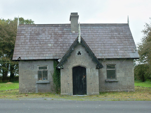 Rinville Parkgate lodge · 676 yd
 South WoodWood · 1083 yd
 North WoodWood · 1322 yd
 Castle (in Ruins)Castle, tower house · 1622 yd
 CastleCastle, unclassified · 1.0 mi
 Leadmine HillMountain / peak · 1.3 mi
 Ardfry PointHeadland · 2.1 mi
 Goose IslandIslet · 2.3 mi
 InishcorraIslet · 2.5 mi