What is recorded here
Fairy fort in Traskernagh, County Galway. A circular rath about 26 metres across on a gentle rise, with two banks and a fosse between them. The inner bank and ditch are still visible all round, but the outer bank has largely vanished under a field boundary. It is the kind of place people once walked past without knowing how old it was.
On a gentle rise in undulating pastureland. Poorly preserved overgrown circular rath (diam. c. 26m) defined by two banks and an intervening fosse. The inner bank (base Wth 5m; Wth at top 1m; int. H 0.6m; ext. H 1.7m) and fosse (Wth 1.4m) are visible all round. The outer bank is overlain by a field boundary and no visible surface trace survives in the N sector.
Compiled by: Galway Archaeological Survey, UCG
Date of upload: 26 April 2018
The monument record does not grant public access. Check the route and ask the landowner before entering private land.
- What survives
- Recorded monument
Places near here
 Enclosure in SrahdooEnclosure · 659 yd
 Old R.C. Chapel (in ruins)Chapel · 1152 yd
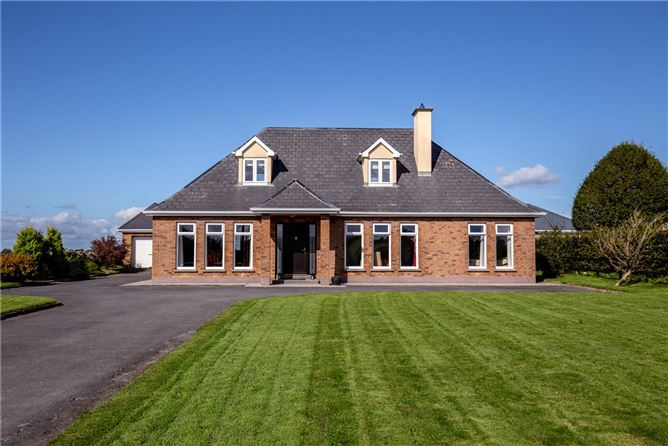 RathsonnyFairy fort / earthen ringfort · 1290 yd
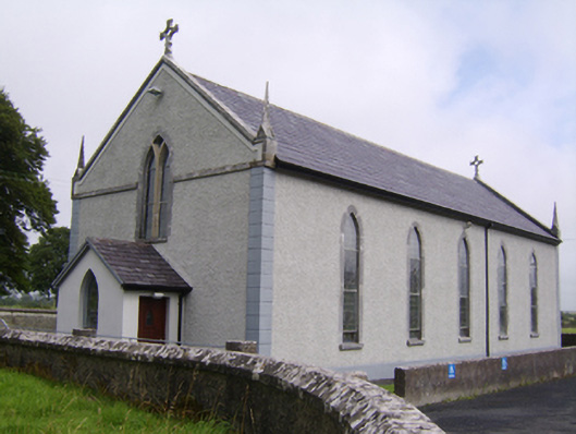 Saint Jarlath's Catholic Churchchurch/chapel · 1384 yd
 Ballynamantragh CastleCastle, unclassified · 1.3 mi
 Kilcooly Castle (in ruins)Castle, tower house · 1.6 mi
 Dartfield Horse MuseumHeritage attraction · 2.5 mi
 Stone Islands SouthIslet · 2.6 mi
 Long PointHeadland · 2.7 mi
 Island McCooIslet · 2.9 mi
 Turoe StoneHeritage attraction · 5.1 mi
 Scalpeen RockNamed rock · 6.8 mi