What is recorded here
No visible surface trace survives, but the lost fort once stood about 45m across in Townparks, near Tuam. Houses now occupy the site, and the fort has become a boundary marker for the area rather than a ruin people can walk around.
Some 150m E of an enclosure (GA029-170----). Marked on 1st ed. on OS 6-inch map as a circular enclosure (D 45m) but evidently much damaged by time of 3rd ed. (1932) when only a hachured arc at N is shown. No visible surface trace survives; a number of houses now occupy the site. A CBG (GA029-171001-) lay within the interior.
The above description is derived from the published 'Archaeological Inventory of County Galway Vol. II - North Galway'. Compiled by Olive Alcock, Kathy de hÓra and Paul Gosling (Dublin: Stationery Office, 1999).
Date of upload: 05 August 2010
The monument record does not grant public access. Check the route and ask the landowner before entering private land.
- What survives
- Recorded monument
Places near here
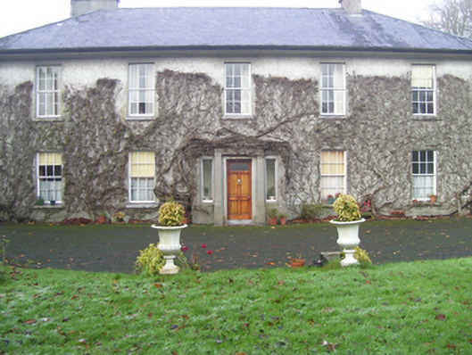 Prospect Househouse · 426 yd
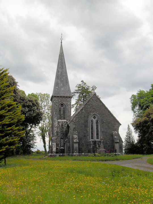 Priests WellHoly well · 524 yd
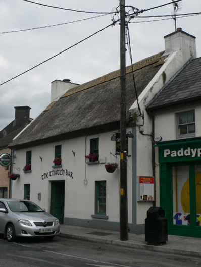 The Thatch Barhouse · 560 yd
 Abbey WellHoly well · 714 yd
 CastleCastle, unclassified · 758 yd
 European ashEuropean ash · 2.0 mi
 Mass RockNamed rock · 3.3 mi
 Ballinderry CastleCastle, tower house · 4.1 mi
 KnockmaaWood · 5.2 mi
 Kilcoona Round TowerHeritage attraction · 9.0 mi
 Ballinduff BayBay · 11 mi
 Oileán an AoilIsland · 13 mi