What is recorded here
Fairy forts are named for the last people who believed they saw movement inside them. The Galway list preserves one such ring near Tuam: a shallow circular earthwork, about thirty metres across, now cut through by a field boundary and no longer visible on the surface. It may have been a farmstead, a boundary marker, or a child's guessing game about the shape of the land.
On a SW-facing slope in grassland, near NW limits of Tuam town (GA029-199----). Marked on OS 6-inch maps as W half of a subcircular enclosure (N-S c. 30m) cut by a field boundary at N and S. No visible surface trace survives. An earthwork (GA029-171----) lay 150m to E.
The above description is derived from the published 'Archaeological Inventory of County Galway Vol. II - North Galway'. Compiled by Olive Alcock, Kathy de hÓra and Paul Gosling (Dublin: Stationery Office, 1999).
Date of upload: 05 August 2010
The monument record does not grant public access. Check the route and ask the landowner before entering private land.
- What survives
- Recorded monument
Places near here
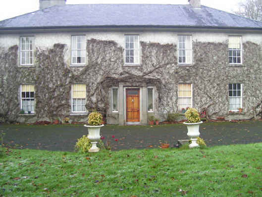 Prospect Househouse · 523 yd
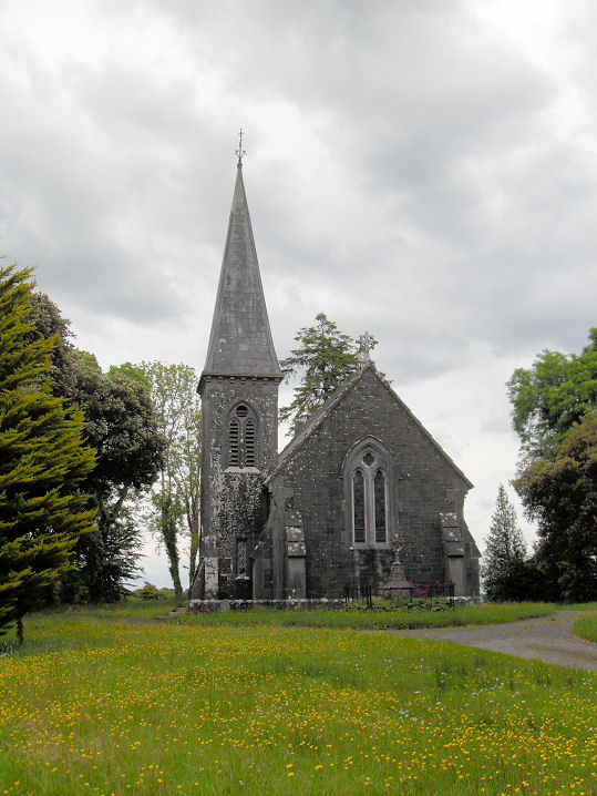 Priests WellHoly well · 585 yd
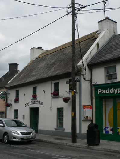 The Thatch Barhouse · 683 yd
 Abbey WellHoly well · 750 yd
 CastleCastle, unclassified · 881 yd
 European ashEuropean ash · 1.9 mi
 Mass RockNamed rock · 3.1 mi
 Castle (in ruins)Castle, tower house · 4.0 mi
 KnockmaaWood · 5.1 mi
 Kilcoona Round TowerHeritage attraction · 9.0 mi
 Ballinduff BayBay · 11 mi
 Oileán an AoilIsland · 13 mi