What is recorded here
Under the new Garda Station in Kells, a twenty-metre rath holds its breath on the highest ground of the ecclesiastical enclosure. Gretta Byrne excavated its bedrock-cut ditch in 1987 and 1988, recovering a seventh-century bronze brooch, stake-holes for an entrance, and layers of occupation debris that predate the Columban monastery. The fort is no longer a fairy tale but a measured human place: a small defended house on rising ground, built before the church and buried beneath it.
Archaeological excavation (E00428) by Gretta Byrne in 1987 and 1988 on the site of a new Garda Station identified a portion of the fosse of an enclosure or rath (int. diam. c. 22m) c. 10m NW of St Columba’s House (ME017-044011-), and a section of a thirteenth or fourteenth century channel (ME017-044029-) further E. The rath is located at what was the highest point within the ecclesiastical enclosure (ME017-044025-) and the ground sloped away from it steeply to the E and S and less so in other directions. An arc of the V-sectioned fosse (Wth c. 2.2m; D 1.5m) that was partly cut through bedrock survived SW-NW (excavated L c. 20m) with a widened terminal (Wth 2.8m; D 1.7m) at NW, although the other side of the entrance (Wth 2.5m plus) was not recovered.
The fosse had fairly consistent layers throughout with a mix of silt, subsoil and gravel at the bottom (T 0.1-0.5m). This was overlain by compact silty gravel or sand with some lumps of redeposited boulder clay or a silty clay with charcoal and bones. Above this was a more sterile deposit of brown clay with some silty gravel. This was overlain throughout by a layer of stones and bones in a grey silty clay with slippage of subsoil on the inner edge. This produced most of the artefacts recovered and represents occupation debris in the main. This was partly overlain by a gravelly yellow / brown clay (max. T 0.8m) deposited from the inner side, which may represent a levelling of the bank across the ditch, matched by a less substantial deposit from the outside. Above this and along the entire ditch was a centrally placed layer of brown clay flecked with charcoal and containing some bones. Over sixty stake-holes forming two lines converging inwards were in the entrance area at NW. In the same area was a flat stone platform (dims 1.5m NW-SE; 0.4m NE-SW) which may be the remnant of a path, beneath which in a small pit (diam. 0.3m; D 0.1m) were 31 sherds of a flat-based pottery vessel that might be of coarse Beaker type, and one sherd of another vessel.
The basal silt of the ditch produced a small blue glass bead but in the layer above a bronze brooch with a kidney-shaped ring that had an amber stud in a roundel on the front was found. This could date to the seventh or eighth century (Stevenson 1987), pre-dating the foundation of the Columban monastery (ME017-044012-). Layers above this produced fragments of bronze plates and pins. Iron objects included a knife and what might be part of an escutcheon, an awl, a ring and one furnace bottom. There were stone hones and a spindle whorl and bone pins. There were two pits 1m (dims 1.3m x 1.1m; D 0.5m) and 4m (dims 2.4m x 1-1.4m; D c. 0.25m) outside the ditch which were probably contemporary with it but produced few artefacts apart from a cylindrical bead of pale green glass with applied yellow glass from the second. (Byrne 1988)
Compiled by: Michael Moore
Date of upload: 16 April 2019
A fairy fort or earthen ringfort located in Town Parks, Kells Upper, is likely an early-medieval agricultural or defensive enclosure, evidenced by a fosse identified during archaeological excavations in 1987–1988. Local tradition associates such sites with fairy lore, reflecting their mystical status in Irish folklore.
The monument record does not grant public access. Check the route and ask the landowner before entering private land.
- What survives
- Recorded monument
Places near here
 St. Columbs HouseChurch · 24 yd
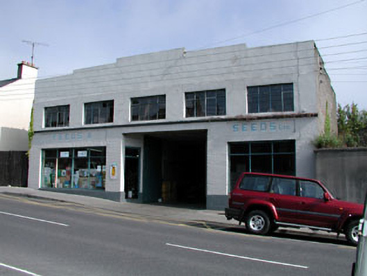 workshopworkshop · 81 yd
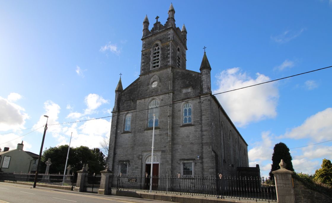 Font (present location) in Town Parks (kells Upper By.)Font (present location) · 117 yd
 Kells High Crosses and Round TowerMemorial · 137 yd
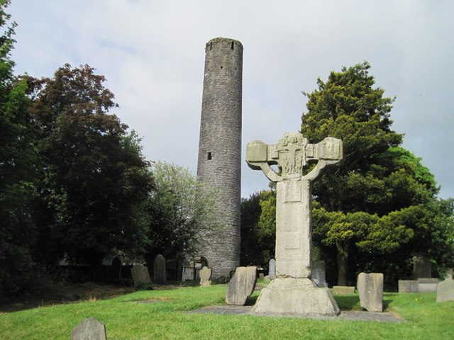 Kells Round TowerMemorial · 138 yd
 Round TowerRound tower · 144 yd
 CastleCastle, unclassified · 334 yd
 Lady's Well WoodForest · 1329 yd
 Long WoodWood · 1366 yd
 Castle ruinsCastle · 1.6 mi
 MountainpoleMountain / peak · 1.8 mi
 BalreaskMountain / peak · 2.5 mi