What is recorded here
No amount of thinking can solve the missing half. I need to see the whole chamber and the facts inside it.
Situated on a slight rise in a fairly level landscape with the headwaters of a small NW-SE stream c. 40m to the N. A circular embanked enclosure (ext. diam. c. 55-60m) truncated by an E-W field bank at N is depicted on the 1836 edition of the OS 6-inch map where it is described as a ‘Fort’. Only the scarp of the curve N of the field bank is depicted on the 1912 edition. No feature is visible at ground level in pasture.
The above description is derived from the published 'Archaeological Inventory of County Meath' (Dublin: Stationery Office, 1987). In certain instances the entries have been revised and updated in the light of recent research.
Compiled by: Michael Moore
Date of revision: 12 August 2019
The monument record does not grant public access. Check the route and ask the landowner before entering private land.
- What survives
- Recorded monument
Places near here
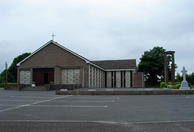 Catholic Church of the Assumptionchurch/chapel · 332 yd
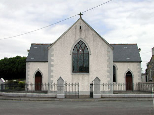 Catholic Church of the Holy Trinitychurch/chapel · 1.2 mi
 EnclosureEnclosure, large enclosure · 1.2 mi
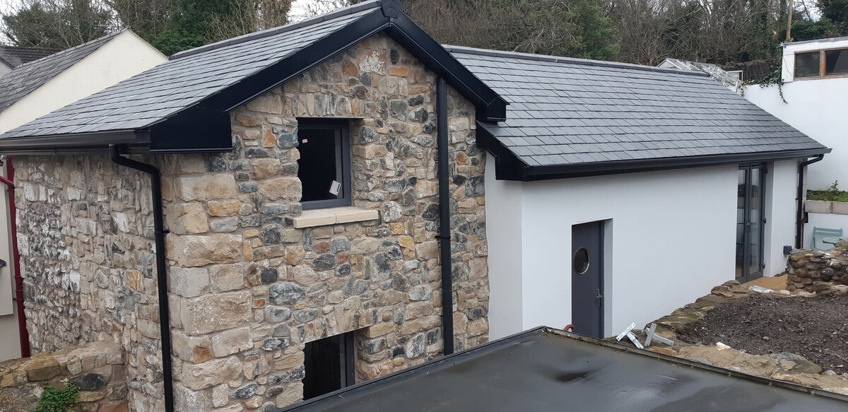 Enclosure in StonehouseEnclosure · 1.4 mi
 IndicatedCastle, unclassified · 1.4 mi
 Castle JordanArchaeological place · 1.4 mi
 Roundhill WoodForest · 3.1 mi
 Moat HillMountain / peak · 3.3 mi
 Rahin WoodsForest · 3.5 mi
 Knockdrin HillMountain / peak · 4.5 mi
 Croppies' GraveMemorial · 5.7 mi
 The Fairy BowerHeritage attraction · 12 mi