What is recorded here
Forty-five metres of packed earth still stand in Tonyin, though men took the bank away on the east side and nobody remembers which gap was the door. The fairies kept what they wanted hidden, perhaps, or people simply stopped needing a wall they could climb. A small room juts from the north-east like a thumb pressed through skin, waiting for the hand that made it to return.
Raised circular area (int. diam 45.6m) with a small subrectangular annexe at NE, enclosed by a substantial earthen bank modernised at NE and SE, and a fosse identifiable from SE-W-N. Bank has been removed from NNE-E. Original entrance not recognisable.
The above description is derived from the published 'Archaeological Inventory of County Cavan' (Dublin: Stationery Office, 1995). In certain instances the entries have been revised and updated in the light of recent research.
Date of upload/revision: 22 December 2008
This remains an important historical record, but the official description says the monument is no longer visible or has been destroyed. The monument record does not grant public access. Check the route and ask the landowner before entering private land.
- What survives
- No visible remains or recorded as destroyed
Places near here
 Not inidicatedChurch · 1299 yd
 Cornanurney ForestForest · 1304 yd
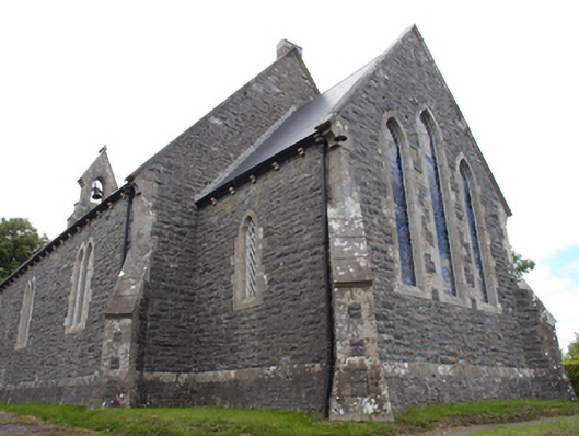 St Mark's Church of Ireland Churchchurch/chapel · 1356 yd
 CornanurneyMountain / peak · 1666 yd
 Cabragh RingfortArchaeological place · 1.1 mi
 Cordoagh Glebe Upper ForestForest · 1.3 mi
 IndicatedEnclosure · 1.4 mi
 CastleCastle, unclassified · 1.5 mi
 Giants GraveArchaeological place · 1.6 mi
 Graveyard in Drumgoon (clankee By.)Graveyard · 1.8 mi
 Site of Old CastleCastle, unclassified · 2.1 mi
 CorickMountain / peak · 2.4 mi