What is recorded here
Fairy fort / earthen ringfort in Toberbride is a fairy fort or earthen ringfort in Toberbride, County Sligo, Ireland. It occupies elevated pasture above a stream 150m south, forming a 34m by 32m circle around a 6m wide bank and 5m wide external ditch. The bank stands 2.6m high outside but only 0.4m inside, with stone protruding through the sod on its north-eastern face. A 3m entrance at south-east crosses the ditch, while hawthorn bushes ring the perimeter and a farmyard sits immediately east.
In elevated pasture; the ground slopes gently down towards a stream c. 150m to S. A raised circular area (34m N-S; 32m E-W) defined by an earthen bank (Wth 6m; int. H 0.4m; ext. H 2.6m) with an external fosse (Wth c. 5m; D 0.8m). The bank has a high, well-defined external face but a low, slumped internal rim and is best defined N-SE where much stone protrudes from the sod on the internal face. The fosse is clearly visible SSW-NW as a broad flat-bottomed shallow depression but is infilled elsewhere. A farm track to N, an area of surface disturbance and overgrowth to E, and a small plantation of conifers at SE impinge on the line of the infilled fosse. The interior slopes down gently to S. The entrance (Wth 3m) is at SSE with a possible ramp or causeway across the fosse. The perimeter is ringed with hawthorn bushes. There is a farmyard immediately to E. Another rath (SL026-062----) lies c. 100m to W.
The above description is derived from the published 'Archaeological Inventory of County Sligo' compiled by Ursula Egan, Elizabeth Byrne, Mary Sleeman with Sheila Ronan and Connie Murphy (Dublin Stationery Office, 2005).
Date of upload: 18 January 2008
The monument record does not grant public access. Check the route and ask the landowner before entering private land.
- What survives
- Recorded monument
Places near here
 Enclosure in ToberbrideEnclosure · 309 yd
 Toberbride (Site of)Holy well · 621 yd
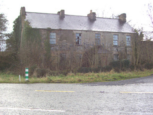 Toberscanavan Househouse · 777 yd
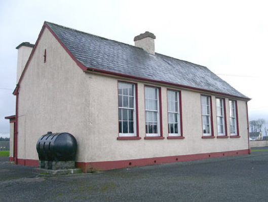 Saint Joseph's National Schoolschool · 1188 yd
 Castle (Site of)Castle, unclassified · 1401 yd
 European ashEuropean ash · 1693 yd
 Field MapleField Maple · 1.3 mi
 Teeling MonumentMemorial · 1.3 mi
 Battle of Collooneybattle · 1.4 mi
 CastleCastle, motte and bailey · 1.4 mi
 BunreecoillMountain / peak · 2.0 mi
 SlievewardMountain / peak · 2.4 mi