What is recorded here
Fairy fort / earthen ringfort in Toberbride is a fairy fort or earthen ringfort in Toberbride, County Sligo, Ireland. The low subcircular platform measures 21.6 metres east-west and 18.5 metres north-south to a field fence. A scarp defines the north-east and north-west edge, reaching 1.3 metres high at the south and 0.9 metres at the north-west. A slight internal lip remains in places to the south and west, while a low linear rise crosses the interior close to the western scarp.
In level elevated pasture, with a fall of ground towards a stream c. 150m to S. A low subcircular platform (21.6m E-W; 18.5m N-S to field fence) defined NNE-NW by a scarp with a slight internal lip. An E-W field boundary truncates the N edge of the rath. The scarp (H 0.4m) is very low NE-SE and partially incorporated into a N-S field boundary. It is higher (H 1.3m at S; 0.9m at NW) and better preserved SSE-NW, retaining a slight internal lip in places to S and W. The interior is level with a very slight rise at NW. A low linear rise (Wth 0.8m) on a N-S axis crosses the interior close to the scarp at W, possibly an old field division or perhaps remains of cultivation ridges. A farm track skirts the perimeter SE-SSW. Another rath (SL026-063----) lies c. 100m to E.
The above description is derived from the published 'Archaeological Inventory of County Sligo' compiled by Ursula Egan, Elizabeth Byrne, Mary Sleeman with Sheila Ronan and Connie Murphy (Dublin Stationery Office, 2005).
Date of upload: 18 January 2008
The monument record does not grant public access. Check the route and ask the landowner before entering private land.
- What survives
- Recorded monument
Places near here
 Enclosure in ToberbrideEnclosure · 470 yd
 Fairy fort / earthen ringfort in Knockbeg EastFairy fort / earthen ringfort · 704 yd
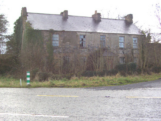 Toberscanavan Househouse · 867 yd
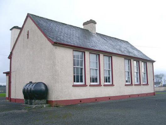 Saint Joseph's National Schoolschool · 1195 yd
 Castle (Site of)Castle, unclassified · 1283 yd
 European ashEuropean ash · 1.0 mi
 Teeling MonumentMemorial · 1.3 mi
 Battle of Collooneybattle · 1.4 mi
 Field MapleField Maple · 1.4 mi
 CastleCastle, motte and bailey · 1.5 mi
 BunreecoillMountain / peak · 1.9 mi
 SlievewardMountain / peak · 2.3 mi