What is recorded here
Fairy fort / earthen ringfort in Toberawnaun is a fairy fort or earthen ringfort in Toberawnaun, County Sligo, Ireland. The structure holds a raised circular area twenty-one point two metres across, enclosed by an earth and stone bank five point six metres wide and zero point four to one point four metres high. A stone-lined entrance two point two metres wide opens toward the east-south-east, while modern field work levelled part of the west perimeter. Two low linear banks cross at right angles in the centre, but their purpose remains uncertain.
Situated on a NNE-facing slope in hilly, coastal pasture. Raised circular area (diam. 21.2m) enclosed by a bank of earth and stone (Wth. 5.6m; int. H 0.4m - 1.4m). From WSW-W-NNW the perimeter and a small portion of the interior have been levelled as a consequence of the construction of a modern NNW-SSE field boundary. No fosse. Entrance, originally stone-lined, is at ESE (Wth. c.2.2m). A short distance inside the field boundary at WNW is a slightly raised house platform (SL013-037001-). At the centre of the interior of the rath are two low linear banks of earth and stone (Wth. 1.3m; H 0.3m) at right angles to each other. The first (L c.2.1m) is aligned NNE-SSW. The second (L c.2.3m) is at the NNE end of the first. The significance of this feature is uncertain.
Compiled by: Patrick F. O'Donovan
Date of upload: 19 January 2011
The monument record does not grant public access. Check the route and ask the landowner before entering private land.
- What survives
- Recorded monument
Places near here
 Enclosure in ToberawnaunEnclosure · 352 yd
 IndicatedFairy fort / earthen ringfort · 366 yd
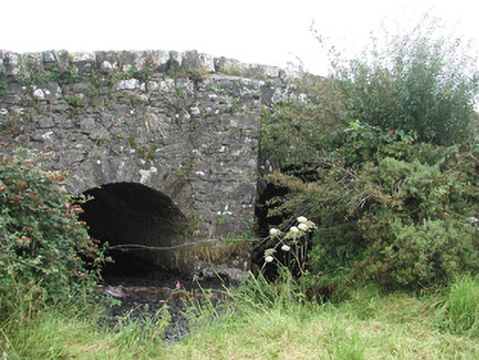 Ardnaglass Bridgebridge · 760 yd
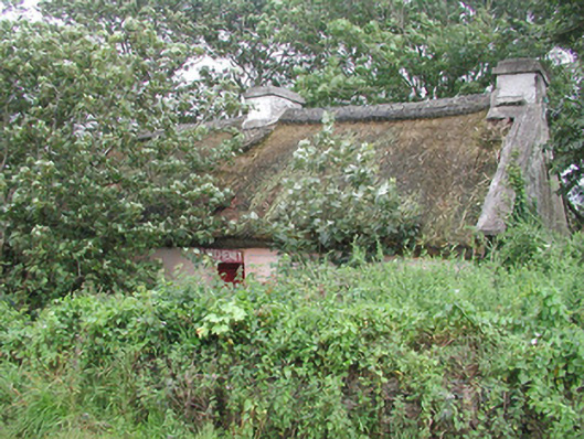 P. Breheneyhouse · 835 yd
 Dunmoran StrandBeach / strand · 900 yd
 CastleCastle, Anglo-Norman masonry castle · 1651 yd
 Aughris BeachBeach / strand · 1.2 mi
 Aughris HeadHeadland · 2.2 mi
 Bawn in CarrowbrickeenBawn · 2.7 mi
 Derkmore PointHeadland · 3.1 mi
 Giant's GraveArchaeological place · 3.6 mi
 Valley WoodForest · 3.8 mi