What is recorded here
Fairy fort in Tirlahode Upper is a raised circular area thirty-five and a half metres across, enclosed by a low earthen bank and a fosse recut for a drain. The original entrance has vanished, but the broad rim still marks the boundary between ordinary field and forgotten life. People may have stood inside that circle, watched the sky or kept what they valued from loss. The drain carries water away now, yet the shape remains, holding its quiet claim on the land.
Raised circular area (int. diam. 35.5m) enclosed by a low, broad earthen bank and a fosse which has been recut to accomodate a drain from SSW-N-NNE and is shallow and partly waterlogged elsewhere. Original entrance not recognisable.
The above description is derived from the published 'Archaeological Inventory of County Cavan' (Dublin: Stationery Office, 1995). In certain instances the entries have been revised and updated in the light of recent research.
Date of upload/revision: 22 December 2008
The monument record does not grant public access. Check the route and ask the landowner before entering private land.
- What survives
- Recorded monument
Places near here
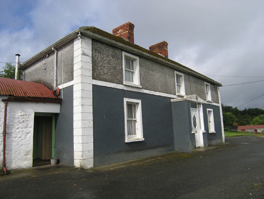 farm housefarm house · 955 yd
 CliffernaMountain / peak · 1161 yd
 St. Michaels R. C. ChapelChurch · 1522 yd
 CarrickacromanMountain / peak · 2.0 mi
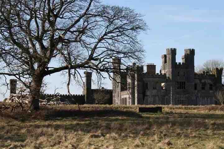 RavenswoodForest · 2.1 mi
 Fairy fort / stone ringfort in KillymeehanFairy fort / stone ringfort · 2.1 mi
 Raven's RockNamed rock · 2.2 mi
 Tullyunshin South ForestForest · 2.6 mi
 Enclosure in DerryhumEnclosure · 3.1 mi
 Ancient Order of Hibernians MemorialMemorial · 3.4 mi
 Foundation Stone Blessed by Pope John Paul II 1979Memorial · 3.5 mi
 The GPO ExhibitionMuseum · 5.7 mi