What is recorded here
Thirty metres of packed earth and hidden stone rise from the pasture, enclosing a small world that watches the Portmagee Channel. Two slabs still mark the southeast gap like a forgotten door, while a cramped circular hut survives inside the ring. O'Connell recorded a buried passage there before it vanished, suggesting the fort hid more than open fields. People may have lived, traded or fled into that lost depth, but the grass has swallowed the entrance and the sea keeps the rest.
Internal diam. 20.3m N-S, 21.4m E-W
Located in pasture on the lower SW slopes of Geokaun, Valencia Island, this circular univallate rath overlooks the Portmagee Channel to S. The enclosing bank is composed of earth with a substantial quantity of stone, though no facing could be discerned through the sod-cover. It ranges in external height from .5m to 3m, and internally from .45m to 1.4m. It has an average basal width of 3.15m and features a 1.8m wide entrance gap at SE. A regular upright slab, marked 'Gallaun' (KE078-010004-) on the OS maps, stands close to the SW side of the entrance. It is 1.54m high and measures .95m x .3m at base; NW-SE. A second slab, c. 1.6m long, lies prostrate 1.5m to E and is almost completely covered by sod. These slabs probably served as portals on the inner side of the entrance. A field boundary overlies a portion of the bank at N.
The remains of a roughly circular hut (KE078-010003-) are located in the S sector of the site's interior. Measuring 3.6m in internal diameter, its 1.1m wide walls survive only .2m high. About 2m to NW a low grassy bank forms a semicircular outline and may indicate the foundations of a second hut (KE078-010005-). O'Connell recorded a small disturbed Man-made underground passage (KE078-010002-) at this site (OPW 1937). Its entrance is no longer visible.
The above description is derived from A. O'Sullivan and J. Sheehan (compilers), 'The Iveragh peninsula: an archaeological survey of South Kerry'. Cork University Press (1996), no. 549. In certain instances the entries have been revised and updated in the light of recent research.
Date of upload: 29 July 2013
This monument is subject to a preservation order made under the National Monuments Acts 1930 to 2014 (PO no. 64/1938).
The monument record does not grant public access. Check the route and ask the landowner before entering private land.
- What survives
- Recorded monument
Places near here
 Shrine in Cool EastShrine · 425 yd
 ValentiaIsland · 739 yd
 Church in Feaghmaan WestChurch · 778 yd
 Fogher CliffCliff · 1220 yd
 GeokaunMountain / peak · 1288 yd
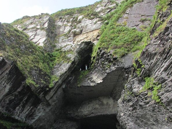
 The GrottoCave · 1635 yd
 Hut site in Cool EastHut site · 1744 yd
 Slate QuarryQuarry · 1.0 mi
 Culloo RockViewpoint · 1.6 mi
 Chilean myrtleChilean myrtle · 1.7 mi
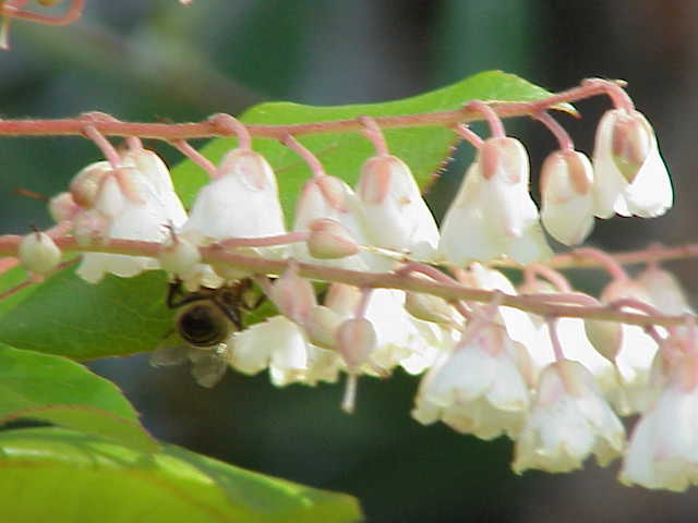 Lily-of-the-valley treeLily-of-the-valley tree · 1.7 mi
 Skellig Experience CentreMuseum · 1.7 mi