What is recorded here
An earthen bank and shallow ditch still mark a small circular fort on the valley floor beside the River Gloshia in Tinalintan. Its eastern entrance faces the low foothills, while a farm track has cut through part of the ring. The interior remains level and empty, preserving a place where people may have lived, watched the valley or simply belonged to the land long before the fort had a name.
On valley floor of an upper fork of the River Gloshia, immediately W of the river. There are good views in all directions across the valley floor and low foothills. A roughly circular area (int. dims. 26m N-S; c. 24m E-W) enclosed by an earthen bank (Wth 1.5m; int. H 0.6m; ext. H 1.6-2m) and outer fosse (Wth 2.5m; D 0.1-0.4m), the latter visible in the NW and S-SE. The stream replaces the fosse in the NE sector. The ringfort has been truncated in the E sector by a farm track. There is an entrance (Wth 3m) at the ENE which appears to be original. The interior is level and featureless.
Compiled by: Jean Farrelly
Date of upload: 13 November 2018
The monument record does not grant public access. Check the route and ask the landowner before entering private land.
- What survives
- Recorded monument
Places near here
 Enclosure in RathkyleEnclosure · 791 yd
 Grave YdGraveyard · 1.0 mi
 Kilmacar Church (in ruins)Church · 1.0 mi
 Site of CastleCastle, unclassified · 1.0 mi
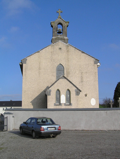 Saint Colman's Catholic Churchchurch/chapel · 1.8 mi
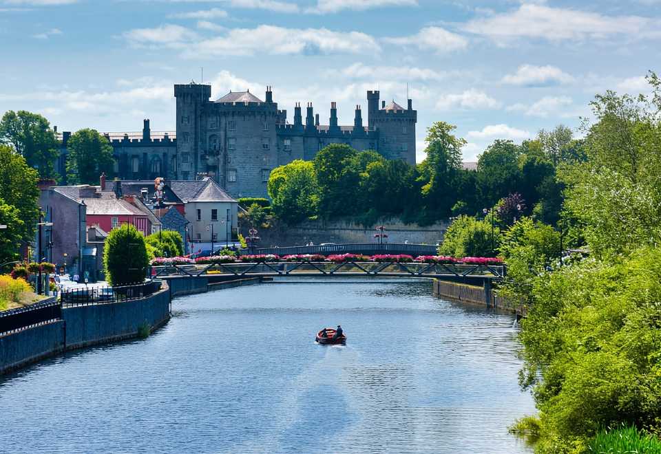 Site of Shanganny CastleCastle, unclassified · 1.9 mi
 Donaghmore WellSpring · 2.0 mi
 Edward BurkeMemorial · 2.5 mi
 Graveyard in SraleaghGraveyard · 2.6 mi
 Castlecomer Discovery ParkHeritage attraction · 3.2 mi
 Footprints In CoalMuseum · 3.2 mi
 Ardra LoopWalking route · 3.4 mi