What is recorded here
No visible entrance, only a broken circle of earth and shadow. The missing gap suggests the fort refused human entry or hid its own way inward. Timogue still orbits that absent door, drawing people back to measure what cannot be measured.
In undulating countryside. A circular area (diam. c. 17.4m) defined by an inner bank (Wth c. 2.6m, int. H c. 0.5m, ext. H c. 0.35m) from S-N, with intervening fosse (Wth c. 5m) and outer bank (Wth c. 5.5m, int. H c. 0.35m, ext. H c. 0.65m) at NW and N. No evidence of original entrance.
The above description is derived from the published 'Archaeological Inventory of County Laois' (Dublin Stationery Office, 1995) compiled by P. David Sweetman, Olive Alcock and Bernie Moran. In certain instances the entries have been revised and updated in the light of recent research.
Date of upload: 17 December 2007
The monument record does not grant public access. Check the route and ask the landowner before entering private land.
- What survives
- Recorded monument
Places near here
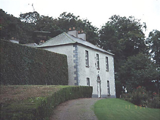 Timogue Househouse · 146 yd
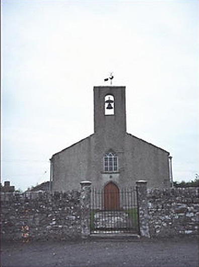 Saint Mogue's Church (Timogue)church/chapel · 316 yd
 Site of CastleCastle, unclassified · 325 yd
 Enclosure in LoughteeogEnclosure · 1578 yd
 Prospect Ho.Castle, unclassified · 1.3 mi
 Enclosure in RaheenaniskyEnclosure · 1.4 mi
 European BeechEuropean Beech · 1.9 mi
 CEMETERYGraveyard · 2.1 mi
 Oughaval Wood MapVisitor information · 2.1 mi
 Mass Rock WalkWalking route · 2.2 mi
 Beech Way WalkWalking route · 2.3 mi
 Timahoe Church and Round TowerVisitor information · 2.4 mi