What is recorded here
Fairy fort in Timard, County Galway: a subcircular earthen ringfort, forty-five and a half metres across, set on an east-facing grassy slope. Its outer bank still rises from south-south-east through south to north-west; the north-west quadrant has been taken away, perhaps for stone or soil. Inside stands a chambered grave, old enough to belong before memory. People may have lived here, feared here, or simply passed it and called it fairy because shape and shadow did the rest.
On an E-facing slope in undulating grassland. Poorly preserved subcircular rath (E-W 45.5m) defined by an inner scarp, intervening fosse and outer bank which survives only from SSE through S to NW. The NW quadrant of the monument has been quarried out. Within the interior is a CBG (GA018-062001-).
The above description is derived from the published 'Archaeological Inventory of County Galway Vol. II - North Galway'. Compiled by Olive Alcock, Kathy de hÓra and Paul Gosling (Dublin: Stationery Office, 1999).
Date of upload: 05 August 2010
The monument record does not grant public access. Check the route and ask the landowner before entering private land.
- What survives
- Recorded monument
Places near here
 Park CastleCastle · 483 yd
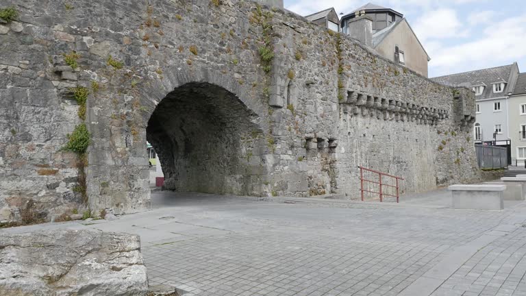 Enclosure in LerhinEnclosure · 742 yd
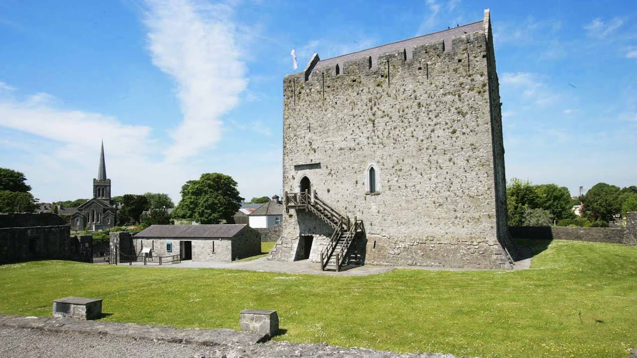 Lerhin CastleCastle · 1127 yd
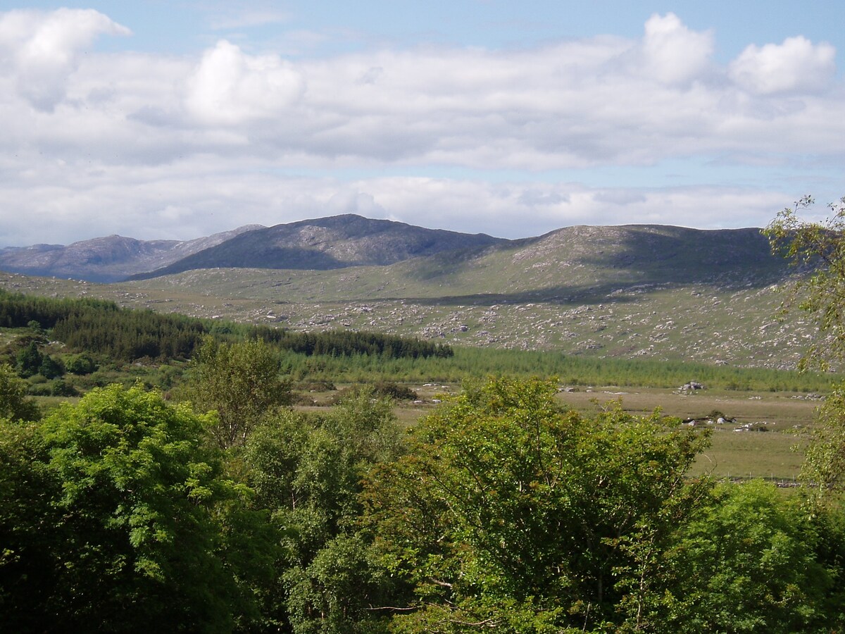 LissardFairy fort / earthen ringfort · 1.6 mi
 Derrynabuie Househouse · 1.6 mi
 St. Francis MonasteryReligious house, unclassified · 1.7 mi
 Ballinlass Eviction MemorialMemorial · 8.1 mi
 Wych ElmWych Elm · 8.2 mi
 Site of Killomaine Grave YardArchaeological place · 8.8 mi
 Mountbellew ForestForest · 8.8 mi
 Mount MaryMountain / peak · 9.2 mi
 Knockmoy AbbeyHeritage attraction · 11 mi