What is recorded here
Internal diam. 21.9m N-S. A circular platform from 1.3m to 4m above the surrounding ground is enclosed by a fairly continuous earthen bank up to .85m in height. The outer face of the platform is badly eroded in places. A 4m gap in the bank between the E and ESE, which is approached from the exterior by a constant slope, is likely to have been the original entrance. A lime-kiln is built into the outer face of the bank on the ENE side. The site is located immediately above a stream, to the SSW, in an area of fairly good pasture. Situated on a low drumlin. The views are restricted by surrounding higher hills.
The above description was derived from the 'Archaeological Survey of County Donegal. A description of the field antiquities of the County from the Mesolithic Period to the 17th century.' Compiled by: Brian Lacey with Eamon Cody, Claire Cotter, Judy Cuppage, Noel Dunne, Vincent Hurley, Celie O'Rahilly, Paul Walsh and Seán Ó Nualláin (Lifford: Donegal County Council, 1983). In certain instances the entries have been revised and updated.
Date of upload: 22 September 2008
The monument record does not grant public access. Check the route and ask the landowner before entering private land.
- What survives
- Recorded monument
Places near here
 Enclosure in Rafoarty (ballintra Ed)Enclosure · 1.1 mi
 Enclosure in Casheltown (gartan Ed),lisavaddyEnclosure · 1.2 mi
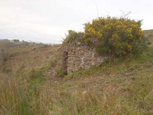 kilnkiln · 1.5 mi
 St. Naul's Catholic Churchchurch/chapel · 1.5 mi
 Drumlaghtafin HillMountain / peak · 2.1 mi
 GinkgoGinkgo · 2.5 mi
 Wych ElmWych Elm · 3.0 mi
 Killaghtee Old Church GraveyardGraveyard · 3.3 mi
 Killin HillMountain / peak · 3.4 mi
 Bawn in Rahan NearBawn · 3.7 mi
 Salthill GardensHeritage attraction · 5.0 mi
 Bawn in KillybegsBawn · 5.1 mi