What is recorded here
Fairy fort / earthen ringfort in Thurlesbeg is a fairy fort or earthen ringfort in Thurlesbeg, County Tipperary, Ireland. It occupies a raised circular area 62 metres north-south and 69 metres east-west, enclosed by an earth and stone bank 1.2 metres wide at the top and 4.5 metres wide at the base. The bank stands 1 metre high internally and 1 to 4 metres high externally at the south, though it is reduced to a scarp from southeast through south to southwest. A possible entrance gap 4.4 metres wide has been widened, and a livestock gap 5 metres wide cuts the bank at the northwest.
In grassland on a SE-facing slope of an E-W ridge overlooking Arglo river 50m to the S. A raised circular area (int. diam 62m N-S; 69m E-W) enclosed by an earth and stone bank (top Wth 1.2m; base Wth 4.5m; int. H 1m; ext. H 1-4m at S) reduced to a scarp from SE through S to SW with a possible entrance gap (Wth 4.4m ) which has been widened. There is a livestock gap (Wth 5m) in the bank at NW.
Compiled by: Jean Farrelly
Date of upload: 26 August 2011
The monument record does not grant public access. Check the route and ask the landowner before entering private land.
- What survives
- Recorded monument
Places near here
 Castle in RuinsHouse, fortified house · 778 yd
 RathancooleenCastle, ringwork · 1439 yd
 IndicatedEnclosure · 1595 yd
 Clonmore Housecountry house · 1.1 mi
 Grave YardGraveyard · 1.3 mi
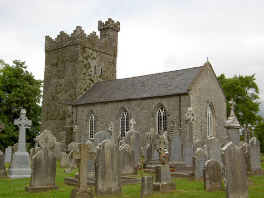 Saint John's Church (Ardmayle)church/chapel · 1.3 mi
 Ballyknock HillMountain / peak · 1.7 mi
 Rock of CashelHeritage attraction · 2.1 mi
 Cormac's ChapelHeritage attraction · 2.1 mi
 The Rock Of CashelVisitor information · 2.1 mi
 Black mulberryBlack mulberry · 2.3 mi
 European ashEuropean ash · 4.5 mi