What is recorded here
Fairy forts are human ringforts misnamed by folklore, and Templemary is no exception. Its earth bank once rose thirty-five metres across a sunny slope, watching the stream valley and Boggeragh Mountains. Farmers later flattened it for pasture, leaving only a faint eastern rise and a Hachured ghost on old maps. The fairies never lived there; people did, until hunger and ploughs erased their walls.
In pasture, on gentle SE-facing slope commanding extensive view SE along stream valley and beyond to Boggeragh Mountains. Depicted as hachured oval enclosure (diam. c. 35m x c. 25m) on 1842 OS 6-inch map; as hachured circular raised area (diam. c. 25m) on 1905 and 1936 OS 6-inch maps. Levelled; slight rise to E may indicate position of E bank.
The above description is derived from the published 'Archaeological Inventory of County Cork. Volume 4: North Cork' (Dublin: Stationery Office, 2000). In certain instances the entries have been revised and updated in the light of recent research.
Date of upload/revision: 14 January 2009
The monument record does not grant public access. Check the route and ask the landowner before entering private land.
- What survives
- Recorded monument
Places near here
 Lady's WellSpring · 634 yd
 Ladys WellHoly well · 640 yd
 Lisgriffin CastleCastle · 797 yd
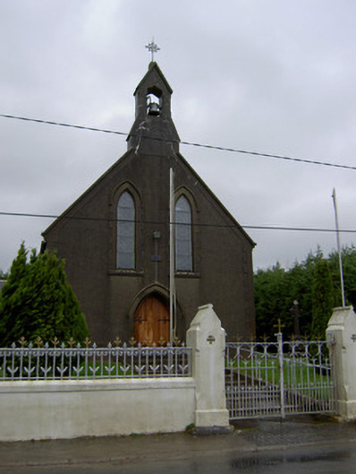 Saint Mary's Churchchurch/chapel · 934 yd
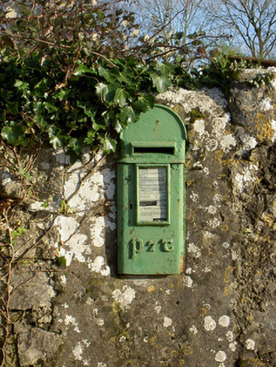 post boxpost box · 1239 yd
 Enclosure in ArdapriorEnclosure · 1600 yd
 CarrigadoonCastle, unclassified · 1.6 mi
 Churchtown TrailsVisitor information · 1.8 mi
 Battle of LiscarrollMajor battlefield · 2.8 mi
 Charles BunworthMemorial · 3.7 mi
 SycamoreSycamore · 3.7 mi
 Graveyard in Ballygiblin (duhallow By.)Graveyard · 4.2 mi