What is recorded here
Fairy fort in Templemary, County Cork: a circular earthen enclosure about twenty metres across, drawn on the 1842 Ordnance Survey map and now levelled beneath long grass by a stream. It may have been a dwelling, a boundary marker or a place for festival and feasting, but the earth has taken back its shape. What remains is a forgotten circle in pasture, the kind of spot where people once believed the fairies kept their own fort.
In pasture, on E side of stream. Depicted as hachured circular enclosure (diam. c. 20m) on 1842 OS 6-inch map. Levelled; no visible surface trace of site in long grass.
The above description is derived from the published 'Archaeological Inventory of County Cork. Volume 4: North Cork' (Dublin: Stationery Office, 2000). In certain instances the entries have been revised and updated in the light of recent research.
Date of upload/revision: 14 January 2009
The monument record does not grant public access. Check the route and ask the landowner before entering private land.
- What survives
- Recorded monument
Places near here
 Lady's WellSpring · 670 yd
 Ladys WellHoly well · 683 yd
 Lisgriffin CastleCastle · 744 yd
 IndicatedKiln, lime · 766 yd
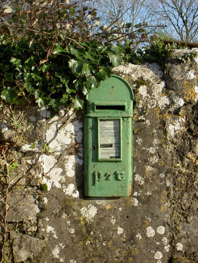 post boxpost box · 884 yd
 Grave YdGraveyard · 1192 yd
 CarrigadoonCastle, unclassified · 1.2 mi
 Churchtown TrailsVisitor information · 1.5 mi
 Charles BunworthMemorial · 3.1 mi
 David HurleyMemorial · 3.1 mi
 SycamoreSycamore · 3.1 mi
 Battle of LiscarrollMajor battlefield · 3.2 mi