What is recorded here
Killala Bay glitters beyond the brambles, watching a D-shaped fort that human maps forgot for a century. The earthen bank still holds its line against the pasture, while irises mark the hidden ditch where water once kept intruders out. Factory smoke drifts sixty metres south, but the fort remains unchanged, waiting for someone brave enough to push through the thorns and ask what it guarded.
In average pasture, located on a slight N–facing slope. Views to NE are good, including part of Killala Bay. There is a factory complex 60m to S.
This possible rath is not shown on the 1838 and 1929 OS 6-inch maps; it was first recorded in an aerial photograph (OS 5 6882-3, Roll 217, pr. 10).
Roughly D-shaped raised area (c. 20-23m N–S; c. 16m E–W to field fence) defined in an irregular arc NNW-S by an earthen bank (Wth 3.3m; int. H 0.2m; ext. H 1.1m, at NE), and on the straight side at W by a field fence. The bank is best defined at NNW-NE but at E–SE it is very low and degraded. A band of irises immediately outside the bank at N–NE may indicate an infilled fosse.
At the time of visit, the perimeter and part of the interior at S and W were engulfed in brambles, making inspection difficult.
Compiled by: Jane O’Shaughnessy
Date of upload: 7 May 2019
The monument record does not grant public access. Check the route and ask the landowner before entering private land.
- What survives
- Recorded monument
Places near here
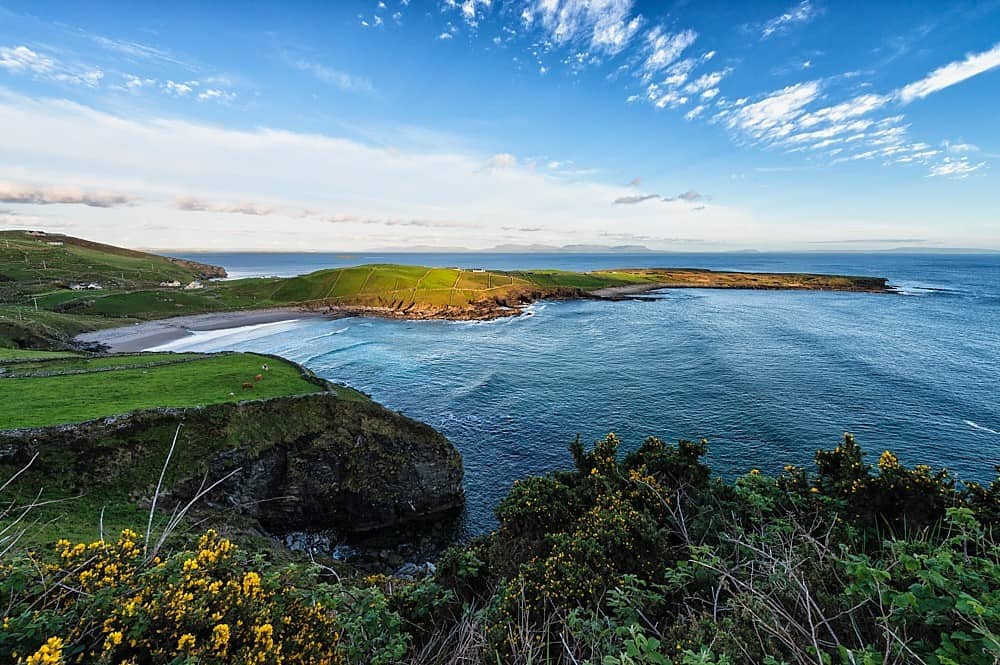 IndicatedFairy fort / earthen ringfort · 326 yd
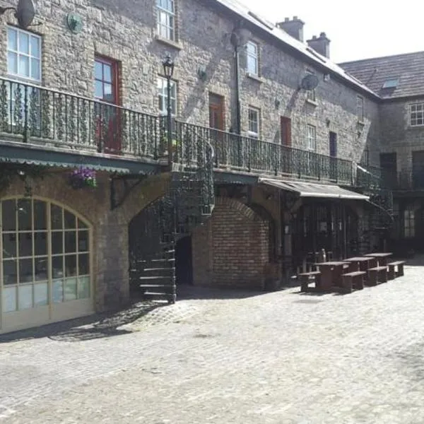 Enclosure in Tawnaghmore LowerEnclosure · 463 yd
 Bawn in Meelick (tirawley By.)Bawn · 683 yd
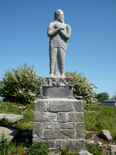 Grave monumentGrave monument · 698 yd
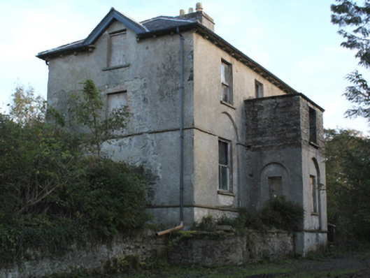 rectory/glebe/vicarage/curate's houserectory/glebe/vicarage/curate's house · 1085 yd
 CastleCastle, unclassified · 1681 yd
 Battlefields of MoyneBattlefield · 1.1 mi
 Battle of Killalabattle · 1.1 mi
 Green IslandIslet · 1.3 mi
 Moyne AbbeyHeritage attraction · 1.5 mi
 Rinnaun PointHeadland · 1.9 mi
 Bartragh IslandIsland · 2.0 mi