What is recorded here
Fairy forts in Tarmon East are earthen rings with shallow ditches, not castle walls or magic stages. This one measures about thirty metres across, has a bank one point four metres high outside, and keeps two gaps that may have marked an entrance or a forgotten boundary. People may have lived, herded, hidden or prayed inside such a circle before the land was measured.
Internal diameter 30m N-S, 31m E-W
Situated E of KE006-004----, this univallate rath consists of a circular area enclosed by an earthen bank and exterior fosse. The enclosing bank rises to a height of 1.4m externally and .6m above the interior. The fosse is evident at two places, NE to E and S to W; it measures 1.2m in width and .6m below the height of the surrounding land. A 3.6m wide gap exists to the NE; a smaller 1.4m wide gap exists to the SW.
The above description is derived from C. Toal, ‘North Kerry Archaeological Survey’. Dingle. Brandon in association with FAS Training and Employment Authority (1995), no. 326. In certain instances the entries have been revised and updated in the light of recent research.
Date of upload: 2 August 2013
The monument record does not grant public access. Check the route and ask the landowner before entering private land.
- What survives
- Recorded monument
Places near here
 Tarmon Castle (in ruins)Castle, unclassified · 1056 yd
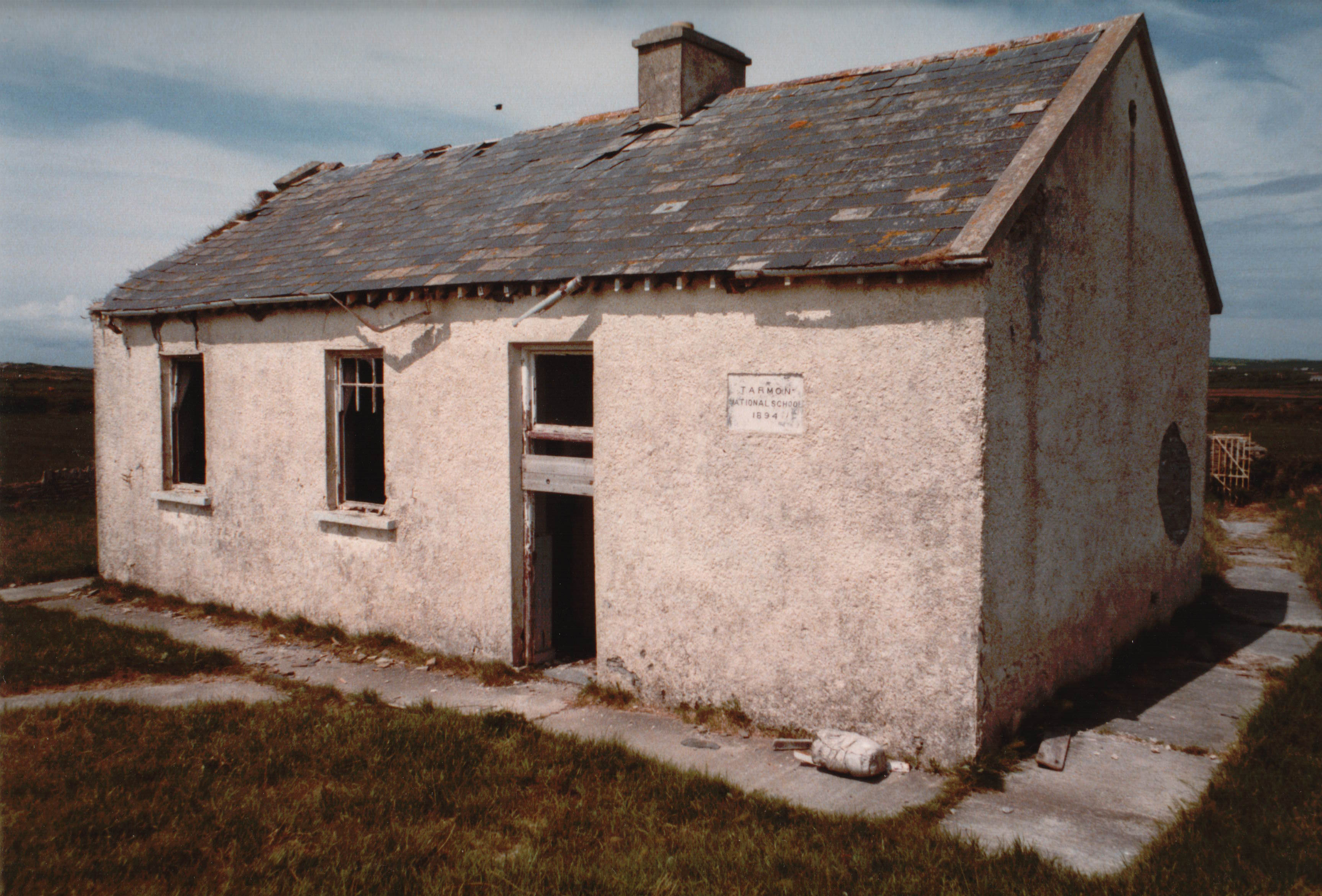 Enclosure in Tarmon EastEnclosure · 1095 yd
 LissymilleenArchaeological place · 1456 yd
 Ballygoghlan National Schoolschool · 1.6 mi
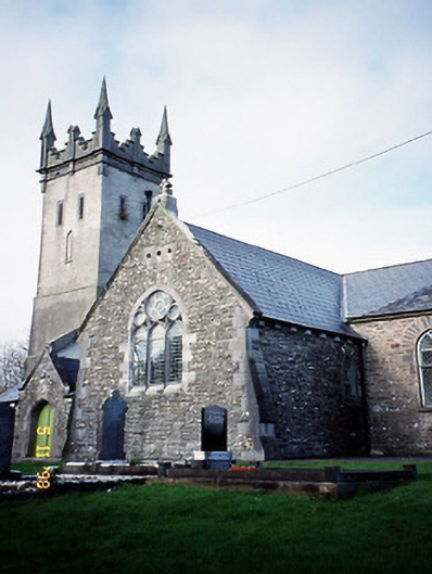 Saint Brendan's Church (Kilnaughtin)church/chapel · 2.2 mi
 Castle (in ruins)Castle, unclassified · 2.6 mi
 Tarbet BayBay · 2.7 mi
 Mountshannon WoodWood · 5.6 mi
 Lawson's CypressLawson's Cypress · 5.9 mi
 Mountshannon PointHeadland · 6.0 mi
 Siege of Carrigafoyle Castlesiege · 6.1 mi
 Carrig IslandIsland · 6.3 mi