What is recorded here
Fairy fort / earthen ringfort in Tanderagee is a raised circular area, twenty-seven metres across, enclosed by a wide low earthen bank and traces of a shallow fosse. A field boundary cuts the site into two equal portions, and ploughing has levelled the eastern edge, yet the outline still emerges when rain darkens the soil or shadow stretches across the grass. The original entrance has vanished, denying easy entry and inviting imagination about who lived there, what they kept inside, and why the earth was shaped into a ring rather than left open.
Raised circular area (int. diam. 27m) enclosed by a wide, low earthen bank and traces of a shallow fosse. Site is divided into two apparently equal portions by a field boundary running NNW-SSE. Although the site has been levelled to ENE, its outline is still distinguishable. Original entrance not recognisable.
The above description is derived from the published 'Archaeological Inventory of County Cavan' (Dublin: Stationery Office, 1995). In certain instances the entries have been revised and updated in the light of recent research.
Date of upload/revision: 22 December 2008
The monument record does not grant public access. Check the route and ask the landowner before entering private land.
- What survives
- Recorded monument
Places near here
 CastleCastle, motte · 261 yd
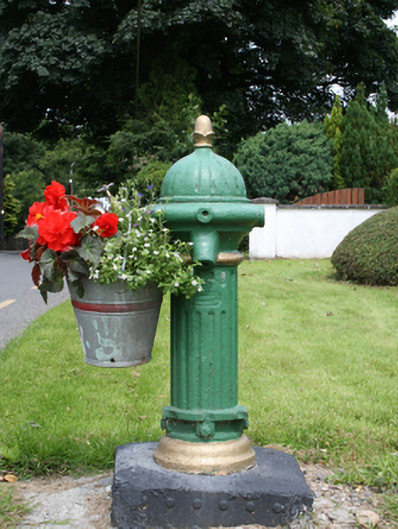 water pumpwater pump · 493 yd
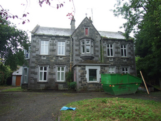 Tanderagee Housesteward's house · 535 yd
 In Memory of Patrick KiernanMemorial · 1.5 mi
 Tullynaskeagh WestForest · 1.5 mi
 Brothers GravesVisitor information · 1.6 mi
 Drumbannan FortArchaeological place · 1.6 mi
 CarnalynchMountain / peak · 1.6 mi
 Tullynaskeagh EastForest · 1.7 mi
 DrumacarrowMountain / peak · 1.8 mi
 Rebel HillMemorial · 2.0 mi
 IndicatedFairy fort / earthen ringfort · 2.1 mi