What is recorded here
That is one of two possible locations in this area. The first is a hill above Streamstown Bay, holding a round earthwork twenty metres across. The second is a shallow valley near Barratrough, hiding a similar ring beneath grass and forgotten time. Both resist easy explanation. Both invite you to walk around them, listen for movement, and leave before dark.
On a hill summit overlooking the inner reaches of Streamstown Bay. Well-preserved subcircular rath (E-W 25m; N-S 20.8m) defined by a bank. A modern field bank runs just outside the bank at SE. A rectangular depression (L 6m) in the NE portion of the interior appears to be modern. (Killanin 1954, 96)
The above description is derived from the published 'Archaeological Inventory of County Galway Vol. I - West Galway'. Compiled by Paul Gosling (Dublin: Stationery Office, 1993).
Date of upload: 05 August 2010
The monument record does not grant public access. Check the route and ask the landowner before entering private land.
- What survives
- Recorded monument
Places near here
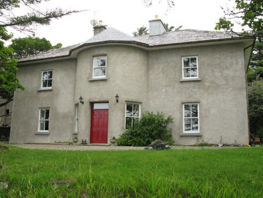 Streamstown Househouse · 427 yd
 Grave Yd.Graveyard · 963 yd
 Letterdeen Standing StoneArchaeological place · 1027 yd
 Shaft of Copper MineMine · 1638 yd
 Boolard IslandIslet · 1.0 mi
 Abbeyglen Castle HotelCastle · 1.9 mi
 Bawn in Doon (ballynahinch By.)Bawn · 1.9 mi
 Lavelle Art GalleryGallery · 2.0 mi
 Station House MuseumMuseum · 2.1 mi
 Alcock and Brown Atlantic CrossingMemorial · 3.3 mi
 DerrylahanMountain / peak · 3.6 mi
 BallynewMountain / peak · 3.7 mi