What is recorded here
Half-submerged in the Owenmore’s floodwater for most of the year, the Stranagap ringfort keeps its circular shape hidden beneath the river’s breath. Two earthen banks still stand around a central space twenty-four metres across, though the entrance has vanished and a modern laneway now scrapes its outer foot. The water does not erase the fort; it rewrites the boundary, filling the ditch and forcing anyone who approaches to read the earth through mud, shadow and the river’s own movement.
Situated immediately N of the Owenmore River. Raised almost circular area (int. diam. 24.4m) enclosed by two substantial earthen banks with intermediate fosse. Outer bank and fosse identifiable only from ESE-S-SW. Fosse is flooded by the waters of the river for most of the year (local information). A modern laneway skirts the external foot of the bank from NNW-N-NE. Original entrance not recognisable.
The above description is derived from the published 'Archaeological Inventory of County Cavan' (Dublin: Stationery Office, 1995). In certain instances the entries have been revised and updated in the light of recent research.
Date of upload/revision: 22 December 2008
The monument record does not grant public access. Check the route and ask the landowner before entering private land.
- What survives
- Recorded monument
Places near here
 IndicatedFairy fort / earthen ringfort · 521 yd
 Corratober UpperMountain / peak · 849 yd
 Enclosure in Cashel (tullyhaw By.)Enclosure · 1295 yd
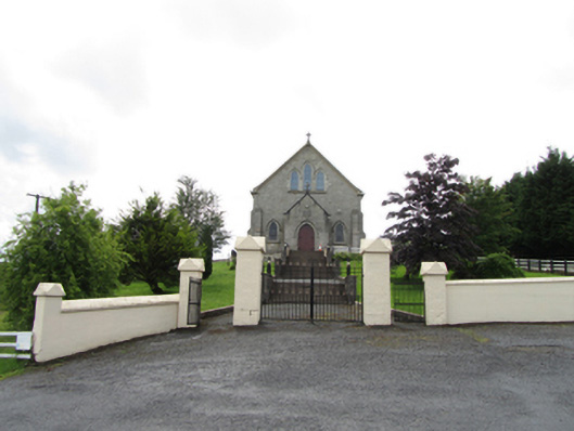 Church of the Immaculate Conceptionchurch/chapel · 1394 yd
 CarrickbrannanMountain / peak · 1.1 mi
 TobermurrySpring · 1.2 mi
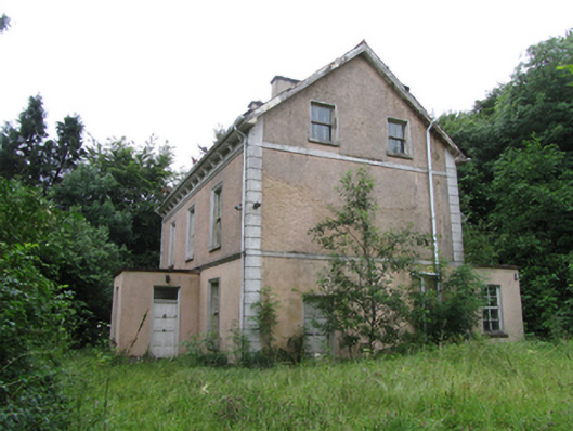 Corrard Househouse · 1.2 mi
 Corrard ForestForest · 1.4 mi
 Republican Garden of RemembranceMemorial · 2.3 mi
 PlaygroudCliff · 2.4 mi
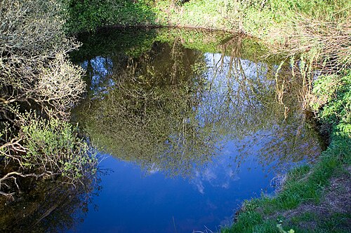 Shannon PotSpring · 2.8 mi
 Legnashinna CavernCave · 2.8 mi