What is recorded here
Situated in a low-lying level landscape. Aerial photographs (CUCAP: AVG 62; AVG 63) from the 1970s show the cropmark of a circular enclosure (diam. c. 40m) defined by a single fosse feature. There is a large pit inside the perimeter at W, which may be a macula, i.e. the site of an uprooted tree, as there are other similar features in the same field. According to local information, an underground passage or Man-made underground passage also exists in this area. No archaeological feature is visible at ground level in pasture.
The above description is derived from the published 'Archaeological Inventory of County Monaghan' (Dublin: Stationery Office, 1986). In certain instances the entries have been revised and updated in the light of recent research.
Date of revised upload: 31 July 2017
The monument record does not grant public access. Check the route and ask the landowner before entering private land.
- What survives
- Recorded monument
Places near here
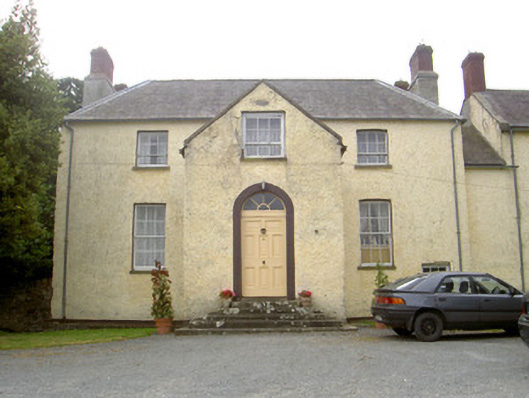 The Gleberectory/glebe/vicarage/curate's house · 434 yd
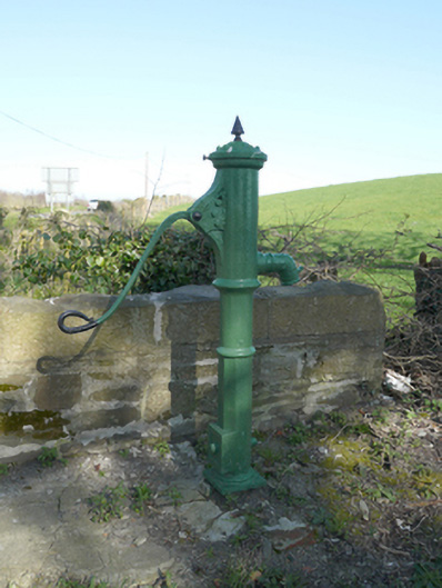 water pumpwater pump · 876 yd
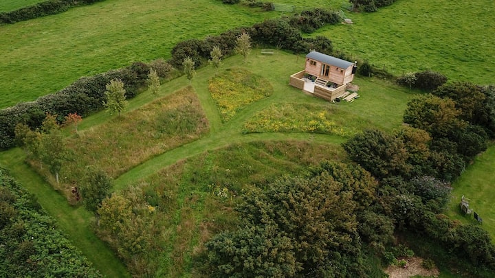 Hut site in DuneltyHut site · 1578 yd
 Man-made underground passage in DuneltyMan-made underground passage · 1656 yd
 CastleCastle, motte and bailey · 1.2 mi
 Flat cemetery in AnnaheanFlat cemetery · 3.2 mi
 Mannan Castle (in ruins)Castle, Anglo-Norman masonry castle · 3.7 mi
 Horse-chestnutHorse-chestnut · 3.9 mi
 European BeechEuropean Beech · 3.9 mi
:no_upscale()/cdn.vox-cdn.com/uploads/chorus_asset/file/25593391/County_Louth_6th.jpg) LouthMountain / peak · 4.6 mi
LouthMountain / peak · 4.6 mi TobernagalliaghSpring · 5.1 mi
 BarleyhillMountain / peak · 6.4 mi