What is recorded here
Stonylane holds a thirty-metre circular fort on a natural rise, its earthen bank still standing two metres high on three sides. The west side has flattened to a barely visible lip, yet the shape remains clear enough to walk inside and measure against your own shadow. Local people called it a fairy fort, perhaps because the boundary between human memory and forgotten life blunts at that exact spot.
The following description is derived from both the published 'Archaeological Inventory of County Louth' (Dublin: Stationery Office, 1986) and the 'Archaeological Survey of County Louth' (Dublin: Stationery Office, 1991). In certain instances the entries have been revised and updated in the light of recent research.
Date of upload/revision: 17 July 2007
Situated on top of a small natural rise. Circular area (int. diam. 30m) enclosed by earthen bank from SE-S-W. Bank survives as scarp (H 2m) on other sides, except on W where it rises 0.3m above the interior.
The monument record does not grant public access. Check the route and ask the landowner before entering private land.
- What survives
- Recorded monument
Places near here
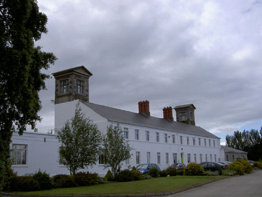 workhouseworkhouse · 472 yd
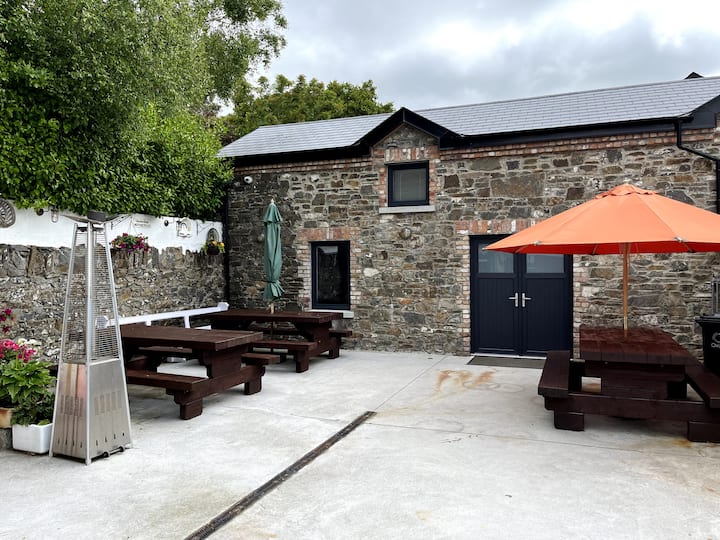 Enclosure in StonylaneEnclosure · 564 yd
 European White ElmEuropean White Elm · 668 yd
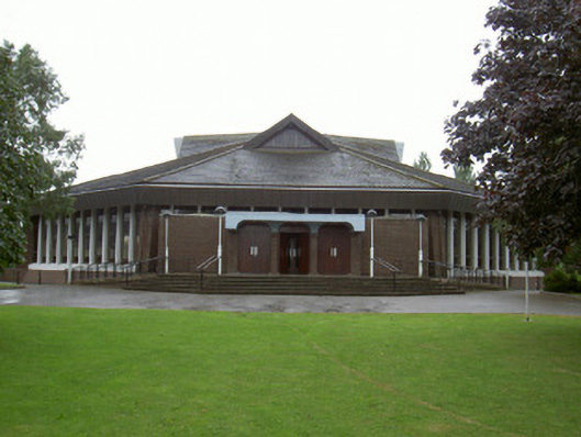 Catholic Church of the Nativity of Our Ladychurch/chapel · 669 yd
 CastleCastle, tower house · 939 yd
 Church Chancel (in Ruins)Cross, Churchyard cross · 1189 yd
 Sir Frederick Foster MemorialMemorial · 1261 yd
 Dawsons MoatCastle, motte and bailey · 1747 yd
 Lebanon CedarLebanon Cedar · 1.3 mi
 Graveyard in StickillinGraveyard · 1.9 mi
 Screedoge HillMountain / peak · 2.0 mi
 Mount OrielMountain / peak · 4.3 mi