What is recorded here
Stokesfield held a thirty-five metre ringfort beside its stream until ploughs and pasture erased most of the shape. A thin curved bank still breaks the flat ground from south to northwest, preserving a hint of the circle that markers described decades ago. The forges, doors and rooms are gone, but the surviving ridge suggests the fort resisted forgetting longer than the fields around it.
On level, low-lying pasture, immediately W of stream. Monument, depicted on 1923 OS 6-inch map as circular enclosure (diam. c. 35m), has been levelled. However, a low curved earthen bank (int. H 0.15m; ext. H 0.6m) is evident S->NW. Otherwise, site level and under pasture.
Compiled by: Denis Power
Date of upload: 26 August 2011
The monument record does not grant public access. Check the route and ask the landowner before entering private land.
- What survives
- Recorded monument
Places near here
 Burnt mound in RobertstownBurnt mound · 795 yd
 Fulacht fia in InchagreenogeFulacht fia · 816 yd
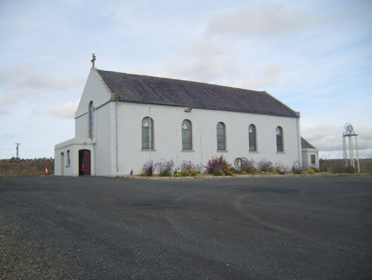 Saint Senan's Catholic Churchchurch/chapel · 1156 yd
 Robertstown Church (in ruins)Church · 1423 yd
 Robertstown Castle (in ruins)Castle, tower house · 1608 yd
 Dysert Castle (in ruins)Castle, tower house · 1.5 mi
 Foynes Flying Boat & Maritime MuseumMuseum · 2.3 mi
 Foynes Island ViewpointViewpoint · 2.5 mi
 Gammarel PointHeadland · 2.6 mi
 Foynes IslandIsland · 3.0 mi
 Battery PointHeadland · 3.3 mi
 Monterey CypressMonterey Cypress · 3.6 mi