What is recorded here
No visible gap, no marked door, no story except the shape itself: a round chamber walled by raised earth and cut by a narrow ditch, set in rough pasture where fields and forges may have come and gone. The fairies keep what measurement cannot finish.
Situated in rough pasture on a low NE-SW ridge that is on the floor of the Manorhamilton to Glenfarne valley. This is a circular area (int. diam. c. 23m) defined by a broad bank (at NNE: Wth of base 6m; int. H 0.2m; ext. H 1m) separated by a flat-bottomed fosse (at NNE: Wth of top 10m; Wth of base 3m; ext. D 0.4m) from a wide outer bank (at NNE: Wth of base 8.6m; ext. H 1.8m) and a slight outer fosse or field drain (at NNE: Wth of top 5m; Wth of base 1.7m; ext. D 0.5m). A relict field bank approaches from the SW, rises over the outer bank and follows its inner edge SSW-N-NNE where it continues on to the NNE. The monument is clipped by a NNE-SSW field bank at the edge of the inner enclosure at E. An entrance was not noted, so it may be at E. The monument is not recorded on any map but is visible on Google Earth (26/03/2012) and other aerial images and was first reported by Jean Charles Caillère.
See the attached enhanced aerial view from Google Earth
Compiled by: Michael Moore
Date of upload: 11 March 2020
Amended: 8 September 2020
The monument record does not grant public access. Check the route and ask the landowner before entering private land.
- What survives
- Recorded monument
Places near here
 Sweat Ho.Sweathouse · 675 yd
 IndicatedEnclosure · 811 yd
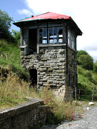 Glenfarne Railway Stationsignal box · 1421 yd
 The Rainbow Ballroomturkish baths, building misc · 1516 yd
 CorrevanMountain / peak · 1.8 mi
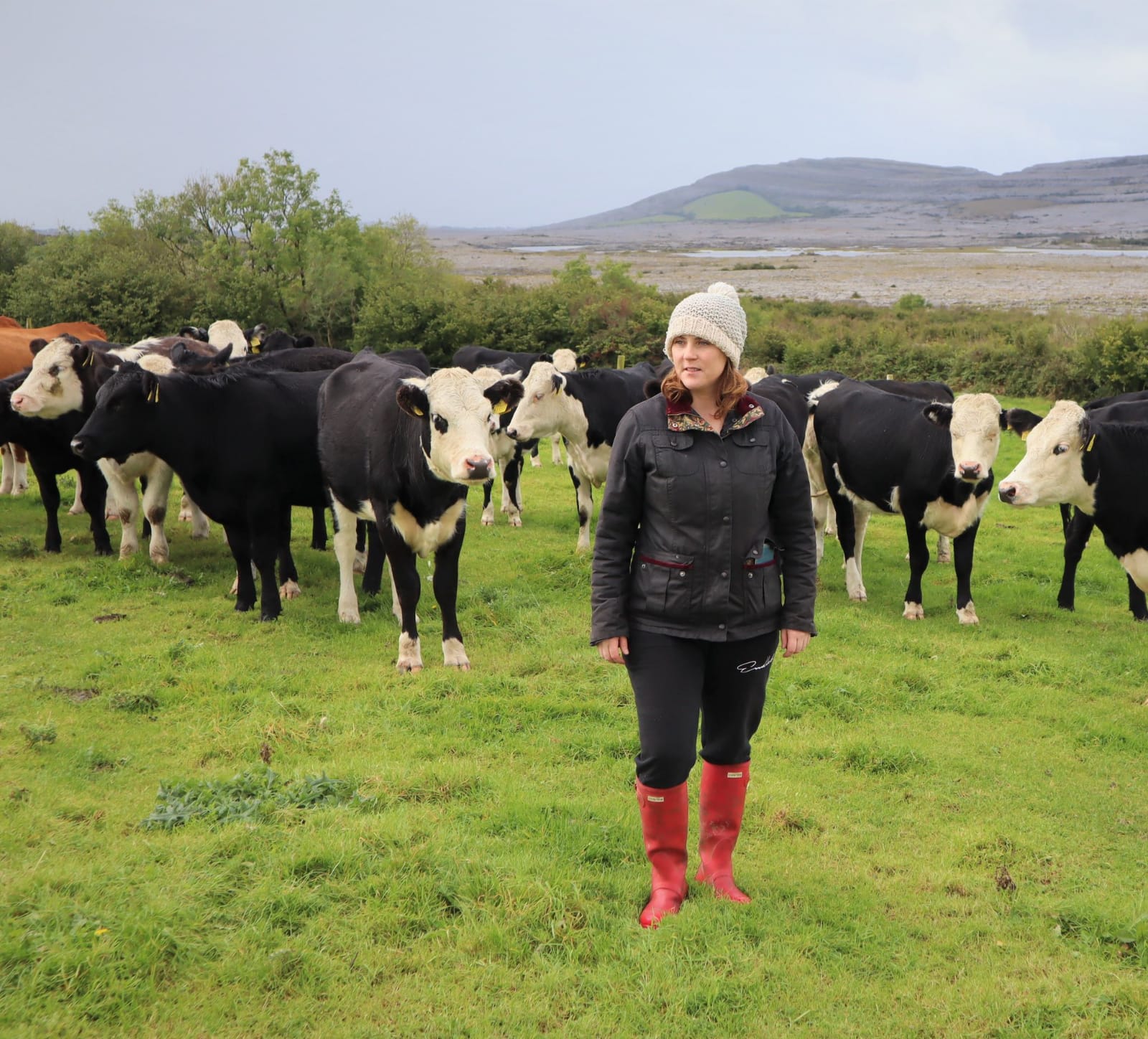 BronaghMountain / peak · 2.0 mi
 Lough MacNean WalkWalking route · 2.0 mi
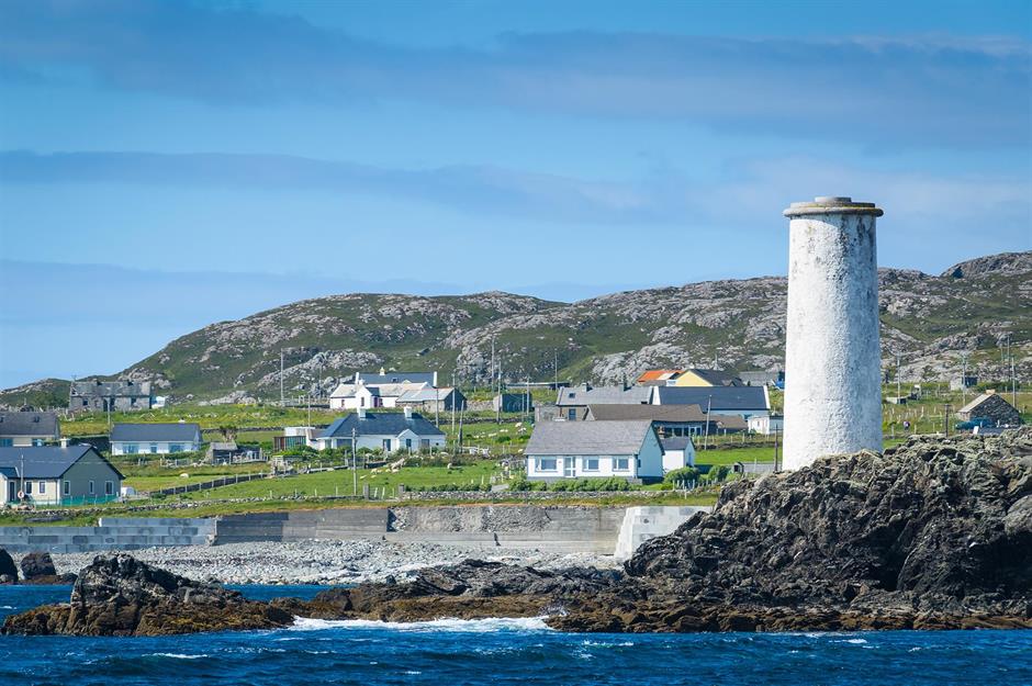 Bilberry IslandIslet · 2.2 mi
 Saint Patrick's IslandIslet · 2.3 mi
 Port IslandCastle, Anglo-Norman masonry castle · 2.6 mi
 Giant's GraveArchaeological place · 2.7 mi
 TobermurrySpring · 5.0 mi