What is recorded here
Fairy fort in Sranagross, County Leitrim: a 29m grass ring on a hill slope above Glenfarne valley, marked by a low scarp and faint outer ditch. People may have lived there, feared it, or simply passed it by; the earth keeps the shape while memory thins.
Situated on the SE-facing slope of a hill on the floor of Glenfarne valley, with a W-E section of the stream c. 100m to the S. This is a grass-covered circular area (diam. c. 29m) defined by an overgrown scarp (max. H 0.85m) with a slight external fosse (Wth 3m; D 0.2m).
The above description is derived from 'The Archaeological Inventory of County Leitrim' compiled by Michael J. Moore (Dublin: Stationery Office, 2003). In certain instances the entries have been revised and updated in the light of recent research.
Date of upload: 23 September 2008
The monument record does not grant public access. Check the route and ask the landowner before entering private land.
- What survives
- Recorded monument
Places near here
 IndicatedEnclosure · 363 yd
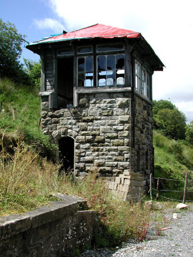 Glenfarne Railway Stationsignal box · 763 yd
 The Rainbow Ballroomturkish baths, building misc · 899 yd
 Sweat Ho.Sweathouse · 1040 yd
 CorrevanMountain / peak · 1.5 mi
 Lough MacNean WalkWalking route · 1.7 mi
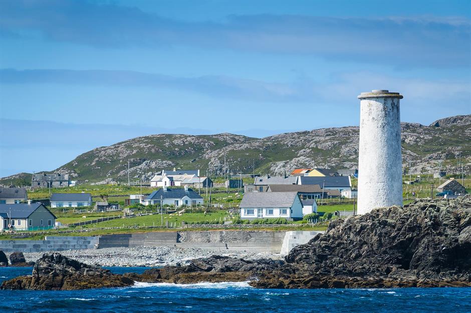 Bilberry IslandIslet · 1.9 mi
 Saint Patrick's IslandIslet · 2.0 mi
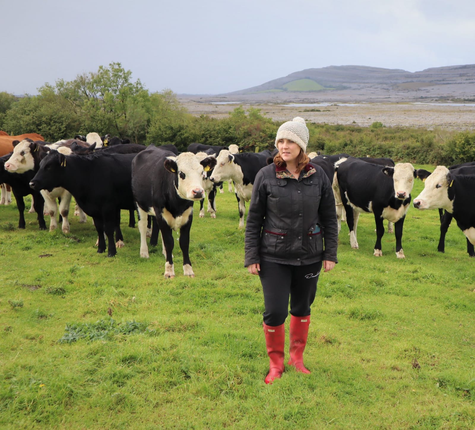 BronaghMountain / peak · 2.2 mi
 Port IslandCastle, Anglo-Norman masonry castle · 2.2 mi
 Giant's GraveArchaeological place · 2.3 mi
 Cavan BurrenHeritage attraction · 4.7 mi