What is recorded here
Fairy fort in South Ring is a 44-metre earthen ring on a SW-facing Cork slope, old enough to hold a burial ground inside its bank. People may have lived there before calling it a fairy fort, and the dead may still rest beneath the pasture. The road passes outside, the field boundary crosses the ditch, and the ring keeps its shape because no one has thought to erase it.
In pasture, on SW-facing slope. Circular, slightly raised area (44m E-W) defined by earthen bank (int. H 0.5m); fosse visible to NE (D 1m). Field boundary encloses presumed position fosse SSE->N; roadway runs outside bank to E. Burial ground (CO135-108002-) in interior.
The above description is derived from the published 'Archaeological Inventory of County Cork. Volume 1: West Cork' (Dublin: Stationery Office, 1992). In certain instances the entries have been revised and updated in the light of recent research.
Date of upload/revision: 14 January 2009
The monument record does not grant public access. Check the route and ask the landowner before entering private land.
- What survives
- Recorded monument
Places near here
 Burial Ground for ChildrenBurial ground · 1 yd
 Stoney Beach RingBeach / strand · 395 yd
 Coast ViewViewpoint · 601 yd
 Ring Househouse · 716 yd
 Prospect Hallhouse · 813 yd
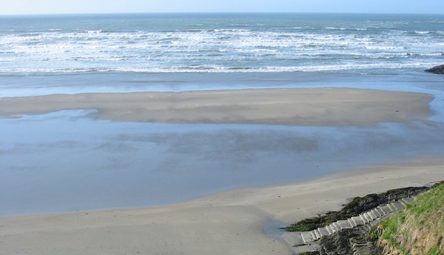 Inchydoney BeachBeach / strand · 851 yd
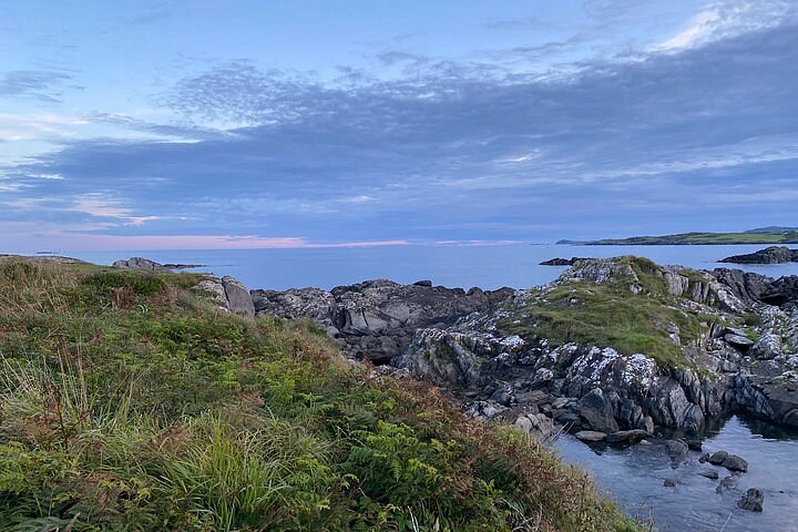 Interesting Cliffs RingCliff · 912 yd
 Inchydoney & Coast ViewsViewpoint · 1106 yd
 Castle Arundel (Site of)Castle, unclassified · 1422 yd
 Man-made underground passage in Inchydoney IslandMan-made underground passage · 1.3 mi
 Clonakilty HarbourBay · 1.6 mi
 CastleCastle, unclassified · 2.2 mi