What is recorded here
Quarrying bit into the northern bank, but the eastern causeway still marks the entrance to a wide circular chamber. People may have lived there, feared the fairies, or simply followed the path the land already suggested. The fort keeps its shape because so much of it resists explanation.
Raised circular area (int. dims. 34.8m NE-SW; 32.7m NW-SE) enclosed by a substantial earthen bank and a wide, shallow fosse, both of which have been destroyed at N as a consequence of quarrying. Break in bank at E with traces of accompanying causeway represents original entrance.
The above description is derived from the published 'Archaeological Inventory of County Cavan' (Dublin: Stationery Office, 1995). In certain instances the entries have been revised and updated in the light of recent research.
Date of upload/revision: 22 December 2008
The monument record does not grant public access. Check the route and ask the landowner before entering private land.
- What survives
- Recorded monument
Places near here
 Tomregan Church of Ireland Churchchurch/chapel · 775 yd
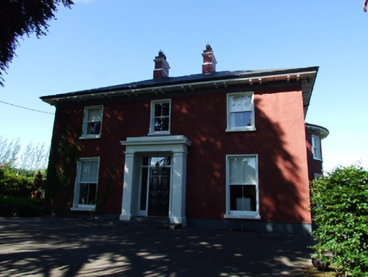 Glendoon Househouse · 863 yd
 Carrowmore Lecharrownahone ForestForest · 1135 yd
 Kieran Doherty TD Cavan Monaghan MemorialMonument · 1176 yd
 Court tomb in Doon (ballyconnell Ed)Court tomb · 1217 yd
 Swallow HoleCave · 1.4 mi
 Clontycarnaghan Wet WoodlandWood · 1.4 mi
 Church HillMountain / peak · 1.6 mi
 KnockateggalMountain / peak · 1.8 mi
 ENCLOSURE in GortineddanENCLOSURE · 2.1 mi
 LissanoverCastle, unclassified · 2.2 mi
 Killycluggin StoneVisitor information · 2.3 mi