What is recorded here
Elizabeth Shee Twohig excavated the Sluggary ringfort in 1973 and 1974, uncovering a burned wattle structure and a bone comb hidden beneath dense scrub. The earth bank once faced a stone wall that collapsed cleanly into the ditch, suggesting a sudden violent end rather than slow decay. This is not a fairy tale but a human tragedy preserved in soil, waiting for someone brave enough to listen.
Located atop a low hill in undulating, unused land, W of the wall of a large housing estate. The monument is heavily masked by dense scrub vegetation cover. It is on the 1924 OS 6-inch map as a sub-oval area (diam. c. 50m N-S by c. 60m E-W) enclosed by two concentric banks with the whole site enclosed by a field boundary. The site was excavated in 1973 and 1974 by Elizabeth Shee Twohig. She found that the bank appeared to have been 'faced with a wall of stones most of which slipped suddenly and cleanly into the ditch.' A complex arrangement of post holes and pits, and evidence of a wattle-built structure which had apparently been burned in situ were recorded. In one area there was a cist like hearth which contained much burnt material. Finds included a bone comb. (Shee Twohig 2000)
Compiled by: Denis Power
Date of upload: 27 March 2013
The monument record does not grant public access. Check the route and ask the landowner before entering private land.
- What survives
- Recorded monument
Places near here
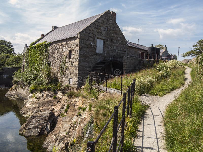 Shanwillen Old MillMill, unclassified · 588 yd
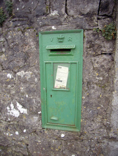 post boxpost box · 708 yd
 Riverine revetment in Ballinacurra (hart),ballykeeffeRiverine revetment · 1426 yd
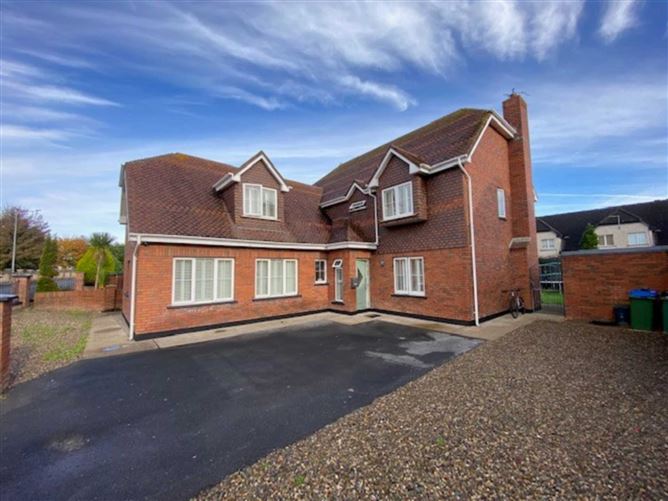 Enclosure in DooradoyleEnclosure · 1496 yd
 CastleCastle, unclassified · 1.4 mi
 Castle FieldCastle, unclassified · 2.3 mi
 Coonagh NatureNature reserve · 2.6 mi
 Sailors HaggardMemorial · 4.3 mi
 Fountain SculptureHeritage attraction · 4.4 mi
 Visitor CentreVisitor information · 4.4 mi
 Campus MapVisitor information · 4.5 mi
 Grass IslandIslet · 7.1 mi