What is recorded here
Slievenavadoge holds a ringfort where earth still stands against time. Kerry farmland has swallowed most of its purpose, but the circular ridge remains visible enough to mark human intention. People may have lived there, buried there or simply avoided the hollow place after dark. The fort does not need a warning label when its shape already suggests exclusion.
The Archaeological Survey of Ireland (ASI) is in the process of providing information on all monuments on The Historic Environment Viewer (HEV). Currently the information for this record has not been uploaded. To access available information for research purposes please make an appointment in advance with the Archive Unit (open Fridays 10.00 am – 5.00 pm), Department of Housing, Local Government and Heritage, The Custom House, Dublin 1 D01W6XO or email NMarchive@housing.gov.ie.
The monument record does not grant public access. Check the route and ask the landowner before entering private land.
- What survives
- Recorded monument
Places near here
 Field system in Knockanush East,knockanush West,slievenavadogeField system · 169 yd
 Man-made underground passage in Knockanush EastMan-made underground passage · 287 yd
 Clogherbrien Church (in ruins)Church · 1.0 mi
 CastleCastle, unclassified · 1.1 mi
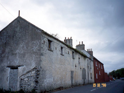 Kent Lodgegates/railings/walls · 1.4 mi
 Site of CastleCastle, unclassified · 1.6 mi
 Tobar na MoltSpring · 2.7 mi
 Statue of Roger CasementMemorial · 2.7 mi
 15th Centenary of the birth of St-BredanMemorial · 2.8 mi
 Tralee Bay Wetlands Eco and Activity ParkNature reserve · 2.8 mi
 Ardfert CathedralHeritage attraction · 2.8 mi
 Ardfert Franciscan FriaryVisitor information · 2.8 mi