What is recorded here
Situated on a level landscape. The cropmark of a circular enclosure (diam. c. 40m) defined by a single fosse feature that is open at NW is visible on aerial photographs (ASIAP (6) 3-5, 8, 27-8). Enclosure (WX048-135----) is c. 150m to the NE.
Compiled by: Michael Moore
Date of upload; 9 January, 2014
The monument record does not grant public access. Check the route and ask the landowner before entering private land.
- What survives
- Recorded monument
Places near here
 Enclosure in SladEnclosure · 184 yd
 Embanked enclosureFairy fort / earthen ringfort · 726 yd
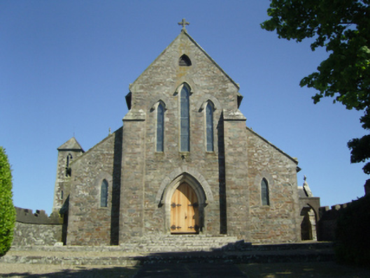 Saint Mary's Catholic Churchchurch/chapel · 786 yd
 CastleCastle, tower house · 1021 yd
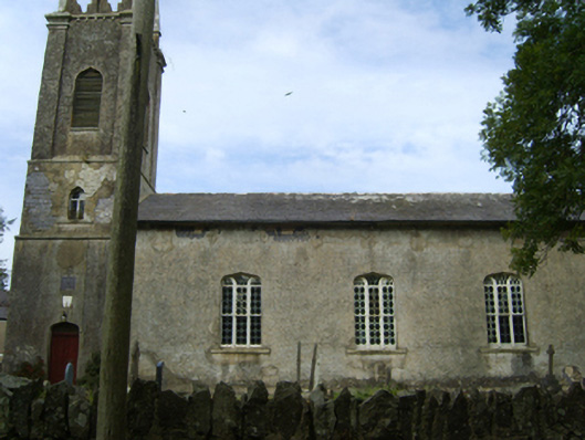 Saint Peter's Church (Kilscoran)church/chapel · 1052 yd
 Rosslare Harbour Maritime Heritage CentreMuseum · 1.7 mi
 Lady's IslandVisitor information · 1.9 mi
 TowerBawn · 2.0 mi
 Birdlife of RosslareVisitor information · 2.4 mi
 The Fairy Stone/RockNamed rock · 2.6 mi
 Shernock Hill/Knocks HillMountain / peak · 2.7 mi
 Marconi HouseMemorial · 2.7 mi