What is recorded here
Situated on ENE side of a natural rise, on the demesne lands of Oldtown House located 230m to NW. The Man-made underground passage lies immediately W side of the townland boundary with Corkan. Site of church (WM017-063----), abbey (WM017-054---) and possible ogham stone (WM017-054002-) 230m to NW. Man-made underground passage (WM017-057----) 300m to NE, second Man-made underground passage (WM017-051----) annotated 'Cave' located 375m to W.
A roughly oval shaped cropmark (approx. dims. 25m NE-SW; 17m NW-SE) visible on Digital Globe aerial photography to the immediate W of the townland boundary with Corkan could be the remains of a levelled ringfort associated with the adjoining Man-made underground passage (WM017-055----) to SSE.
Compiled by: Alison McQueen, Vera Rahilly and Caimin O’Brien
Date of upload: 13 December 2018
A fairy fort or earthen ringfort in Skeagh More is a likely early-medieval defensive or domestic site, indicated by its position on elevated ground. Local tradition associates the site with fairy folklore, while its proximity to a recorded church site (WM017) suggests a broader historical landscape of religious and secular activity.
The monument record does not grant public access. Check the route and ask the landowner before entering private land.
- What survives
- Recorded monument
Places near here
 Site of AbbeyReligious house, unclassified · 262 yd
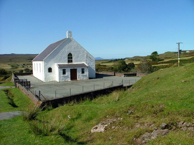 Site of ChurchChurch · 347 yd
 Saint Mary's Catholic Churchchurch/chapel · 431 yd
 Milltown Castle in ruinsCastle, unclassified · 942 yd
 CastleCastle, tower house · 1415 yd
 Ancient Ring FortWood · 1483 yd
 Rathcastle Househouse · 1.0 mi
 Sessile OakSessile Oak · 4.1 mi
 Abbeyshrule AbbeyRuins · 5.2 mi
 Craft WorkshopHeritage attraction · 6.4 mi
 Guest ServicesVisitor information · 6.4 mi
 Goldsmith Birthplace, PallasVisitor information · 6.6 mi