What is recorded here
Situated on a slight E-facing slope, overlooked by hill to SE, in undulating pasture. Possible Man-made underground passage (WM017-047----) lies c. 82m to NW. Visible as an oval-shaped tree-lined area on Digital Globe aerial photography. Depicted as a circular-shaped ringfort on the 1837 OS 6-inch map. Shown on the revised 1913 ed. OS 25-inch map as a slightly distorted irregular or roughly D-shaped platform (approx. dims. 50m NE-SW; 37m NW-SE) defined by a scarp.
Monument described in 1971 as a large, oval-shaped raised area or platform (41m NE-SW; 36m NW-SE) defined by a poorly preserved earthen bank mainly reduced to a steep scarp. The bank is best preserved at SE and is very fragmentary or denuded to a scarp elsewhere. There is evidence of internal stone facing in places where the bank is upstanding. The slight remains of an external fosse are visible from ESE-SE-S. No entrance feature visible. The interior has a gentle E-facing slope with some traces of cultivation ridge visible.
See attached profile of monument surveyed and drawn by the ASI.
Compiled by: Alison McQueen, Vera Rahilly and Caimin O’Brien
Date of upload: 07 December 2018
The monument record does not grant public access. Check the route and ask the landowner before entering private land.
- What survives
- Recorded monument
Places near here
 Rathcastle Househouse · 705 yd
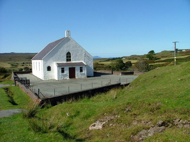 Site of ChurchChurch · 1129 yd
 Site of AbbeyReligious house, unclassified · 1218 yd
 CastleCastle, tower house · 1718 yd
 Saint Mary's Catholic Churchchurch/chapel · 1.0 mi
 Milltown Castle in ruinsCastle, unclassified · 1.3 mi
 Ancient Ring FortWood · 1.6 mi
 Sessile OakSessile Oak · 3.4 mi
 Abbeyshrule AbbeyRuins · 4.5 mi
 Craft WorkshopHeritage attraction · 5.6 mi
 Guest ServicesVisitor information · 5.7 mi
 Goldsmith Birthplace, PallasVisitor information · 5.9 mi