What is recorded here
Situated on a small hill, in undulating pasture, with extensive views in all directions. Ringfort (WM018-038----) lies c. 210m to SSW. Depicted on the 1837 ed. OS 6-inch map and the revised 1913 ed. OS 25-inch map as an oval-shaped earthwork. A circular-shaped earthwork is depicted on an estate map of Rathconrath dating from 1776 (NLI, MS 21 F. 48 (026) ).
Bivallate ringfort described in 1979 as an oval-shaped area (dims. 43m E-W; 32m N-S) enclosed by an inner bank, an intervening fosse and an outer bank. The inner bank of earth and stone is best preserved from N-E and is reduced to a scarp at SE, S and NW. The fosse is narrow and shallow and is present from S-W. The outer bank of earth and stone is very low and is visible from S-W. The fosse and outer bank may be later features. The original entrance is not recognisable. The interior has an E-facing slope and is uneven due to grass-covered deposits of field clearance stones in the S quadrant. A hut site (WM018-037001-) is located within the NW quadrant. A D-shaped annexe (dims. 19m E-W; 11.9m N-S) adjoins the N side of the ringfort. It is enclosed by a low bank of earth and stone and there is a gap between it and the ringfort bank at E. The interior of the annexe is generally level. An old field bank extends to the exterior of the ringfort at W and to the annexe at NNW. Monument is visible today as an oval-shaped, partly tree-lined enclosure on Digital Globe aerial photography.
Compiled by: Alison McQueen, Vera Rahilly and Caimin O’Brien
Date of upload: 11 January 2019
The monument record does not grant public access. Check the route and ask the landowner before entering private land.
- What survives
- Recorded monument
Places near here
 Partially hachuredFairy fort / earthen ringfort · 273 yd
 Site of CastleCastle, unclassified · 496 yd
 Simonstown Castle (in Ruins)Castle, unclassified · 675 yd
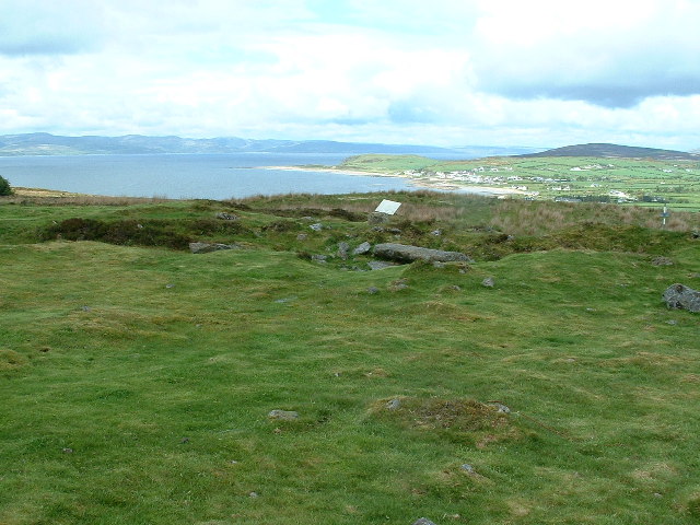 Enclosure in Kilpatrick (rathconrath By.)Enclosure · 821 yd
 32nd Lock Keeper's HouseRuins · 1721 yd
 P. Gunninghouse · 1.2 mi
 Ancient Ring FortWood · 1.2 mi
 WestmeathVisitor information · 2.0 mi
 Baronstown ForestWood · 3.8 mi
 Carrickphilbin IslandIslet · 4.6 mi
 Abbeyshrule AbbeyRuins · 6.4 mi
 Craft WorkshopHeritage attraction · 8.0 mi