What is recorded here
Marianne and I walked the edge at dusk, her fingers tracing the shallow western groove while I watched the eastern gap. She called it a fairy fort because people still leave small stones there, but I wondered whether it was a human kitchen, a child's playground, or a border marker for a forgotten field. The clay smells of rain and handles, not legend. We stood inside the narrow ring until darkness took the edge, listening for the life that shaped it before names were forgotten.
Raised circular area (int. diam. 24.3m) enclosed by a low earthen bank. Slight break in bank at E may represent original entrance. Inside the bank at W is a shallow, roughly parallel-sided depression extending from E-W.
The above description is derived from the published 'Archaeological Inventory of County Cavan' (Dublin: Stationery Office, 1995). In certain instances the entries have been revised and updated in the light of recent research.
Date of upload/revision: 22 December 2008
The monument record does not grant public access. Check the route and ask the landowner before entering private land.
- What survives
- Recorded monument
Places near here
 Bawn in LisdrumskeaBawn · 905 yd
 St Patrick's Roman Catholic Churchchurch/chapel · 928 yd
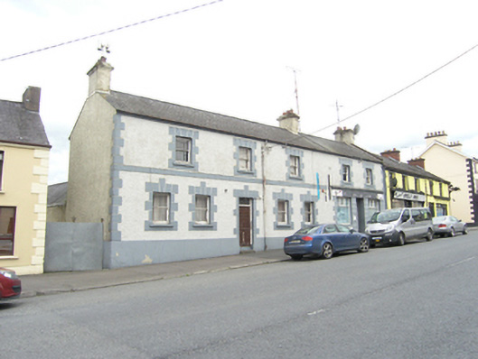 bank/financial institutionbank/financial institution · 1026 yd
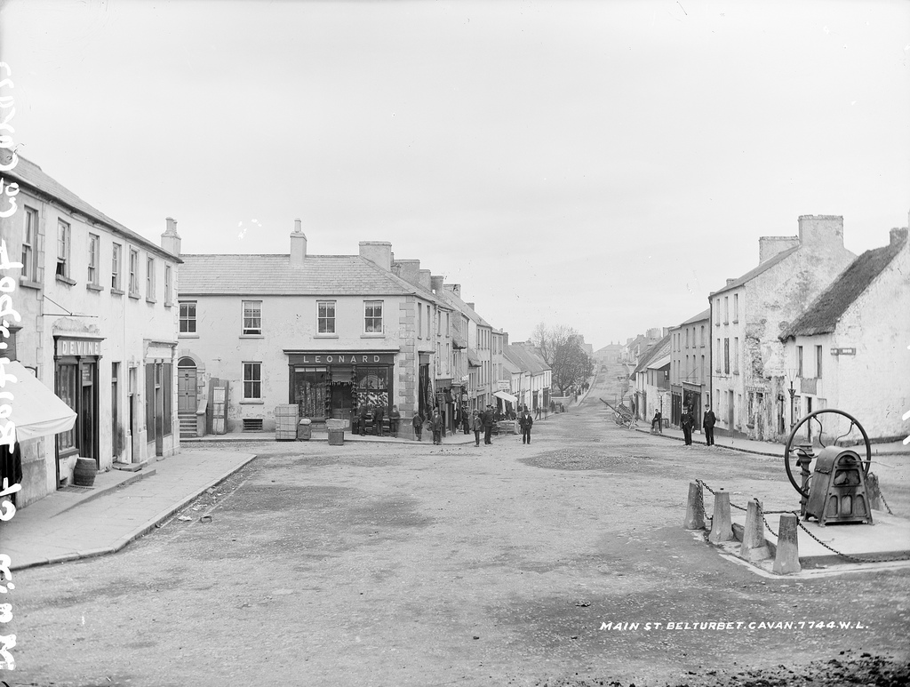 Bloomers FortArchaeological place · 1067 yd
 Bush IslandIslet · 1159 yd
 Sillan LakeshoreWood · 1226 yd
 Gull IslandIslet · 1401 yd
 Killastueran Fort & Grave YardChurch · 1494 yd
 CarrickcreenyMountain / peak · 1.4 mi
 Kinnea Corlattylannan ForestForest · 2.2 mi
 RaferaghMountain / peak · 2.3 mi
 Senator Billy Fox 1939 - 1974Memorial · 3.4 mi