What is recorded here
Fairy fort in Sheshiv, County Limerick: a 28m earthen ring with causeway entrance facing River Deel, its bank worn by cattle and scrub creeping into the grass. The land drops steeply north of the fort, as if the circle were set at the edge of a hidden fall. People may have lived inside it before the field swallowed the shape, or the fairies may have taken it back and left only a ridge for us to walk across.
In level pasture, though land immediately N of site falls steeply down to River Deel. Roughly circular area (28m N-S; 27m E-W) enclosed by earthen bank (int. H 0.45m; ext. H 1m) with external fosse (D 0.4m; Wth 2.6m). Bank has been heavily eroded by cattle. Causeway entrance (Wth 2.6m) at NNE, facing river. Level interior is mostly under grass but there is some scrub on S side.
Compiled by: Denis Power
Date of upload: 26 August 2011
The monument record does not grant public access. Check the route and ask the landowner before entering private land.
- What survives
- Recorded monument
Places near here
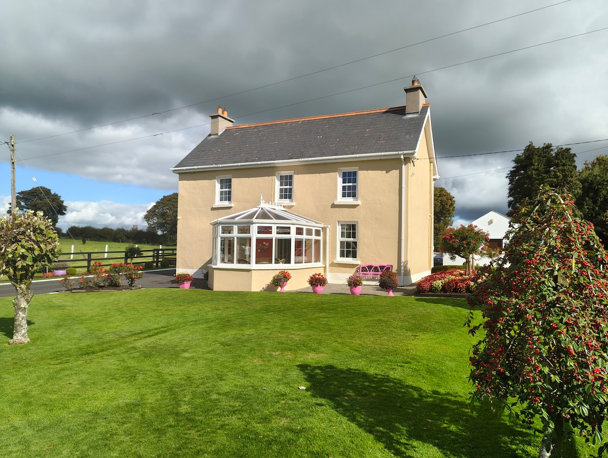 Enclosure in Gardenfield EastEnclosure · 1023 yd
 Moated site in AhadaghMoated site · 1670 yd
 CastleCastle, unclassified · 1726 yd
 ToberacappeenSpring · 1.0 mi
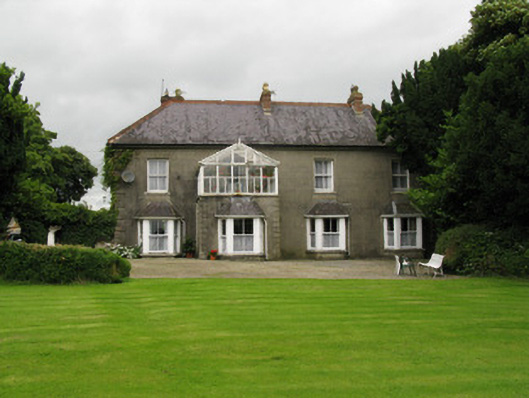 Highmount Housefarm house, house · 1.3 mi
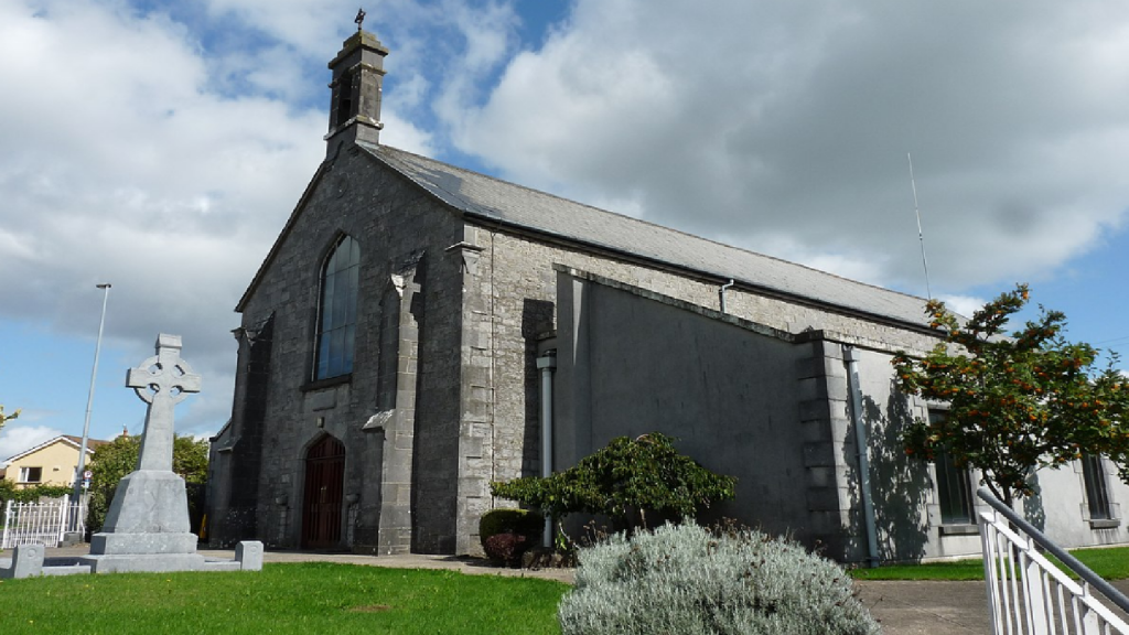 Cloncrew Church (in ruins)Church · 1.4 mi
 ToberhoranSpring · 1.7 mi
 National Co-op MuseumMuseum · 2.3 mi
 Castle (in ruins), Springfield CastleCastle, tower house · 2.9 mi
 Mullaghareirk - Banane LoopWalking route · 7.8 mi
 Ballagh MountainMountain / peak · 7.8 mi
 Battle of LiscarrollMajor battlefield · 8.6 mi