What is recorded here
No visible entrance or internal feature can now be identified. The earth has flattened into a shallow bowl where grass and forgotten stone still mark the curve of two ancient banks. What was built there, who lived inside, and when the wall first closed the sky are no longer certain. The measure survives only in the shape of what remains.
On a gentle SE–facing slope just off the crest of a low pasture rise, c. 150m S of Lough Luirk. Hachured on the 1842 and 1915 eds. of the OS 6-inch maps. Listed as ‘Enclosure’ in the SMR (1992) and the RMP (1996). A very poorly preserved subcircular bivallate ringfort (int. dims. 31m E–W; 29m N–S crest to crest) defined by a low-inner-earthen bank (int. H 0.1–0.3m; ext. H 0.2–0.9m; Wth 1.4–3m), a fosse (D 0.2m; Wth 3.8m) and a narrow-outer bank (H 0.2m; Wth 1.4m). There are outer facing-stones visible on both banks. The fosse and outer bank are only traceable ESE–WSW. Later field walls run E–W across the N of the interior and N–S skirting the W limits of the site. The area N of the E–W wall has been dug over and planted with hardwoods as part of a REPS scheme. A small pumphouse stands on the line of the outer bank to the NW.
Compiled by: Mary Tunney and Ros Ó Maoldúin
Date of upload: 15 December 2020
The monument record does not grant public access. Check the route and ask the landowner before entering private land.
- What survives
- Recorded monument
Places near here
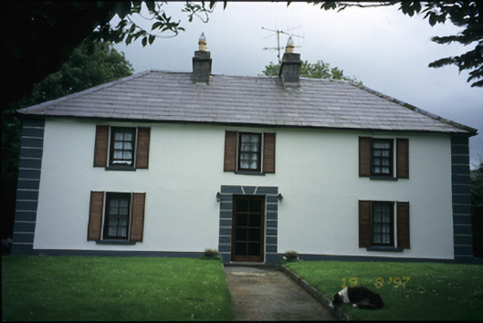 Abbey Househouse · 880 yd
 Fairy fort / earthen ringfort in Abbey WestFairy fort / earthen ringfort · 1399 yd
 Moneen MountainMountain / peak · 1696 yd
 Battle of Lough Raskabattle · 1749 yd
 Muckinish Castle (in ruins)Castle, tower house · 1.1 mi
 Killeen Children's Burial GroundArchaeological place · 1.1 mi
 Corcomroe Abbey Geopark SiteVisitor information · 1.3 mi
 Corcomroe AbbeyVisitor information · 1.3 mi
 Corcomroe Abbey (in ruins)Religious house, Cistercian monks · 1.3 mi
 Castle Mael (in ruins)Castle, unclassified · 1.4 mi
 Turlough HillMountain / peak · 1.5 mi
 Saint Patrick's ChurchHeritage attraction · 1.7 mi