What is recorded here
Mangerton Mountain watches the pastures where a broken ring of earth still marks the edge of Sheheree. The fort lost half its circle to a field boundary, yet the remaining bank encloses enough space for shadows, breath and memory to turn. It is not a complete chamber, but a threshold where the land still holds the shape of what it swallowed.
In pasture, on a SE-facing slope with views S to Mangerton Mountain. An arc of earthen bank (Wth 5.95m; int. H 0.45m; ext. H 0.55m) NW-SE abuts a linear field boundary at SW (L 22m), enclosing a semicircular area (dim. 16.5m NE-SW). The interior, in pasture, slopes down to the SE. The rath is indicated as a circular enclosure (diam. c. 25m), truncated by a NW-SE field boundary off centre to the NE, on the 1846 OS 6-inch map. On the 1893-4 OS 6-inch map only the NE portion is indicated.
Compiled by: Elizabeth Byrne, Ursula Egan and Sheila Ronan, Archaeological Survey Unit, University College, Cork.
Date of upload: 31 January 2011
The monument record does not grant public access. Check the route and ask the landowner before entering private land.
- What survives
- Recorded monument
Places near here
 IndicatedFairy fort / earthen ringfort · 574 yd
 Sheheree Bog Nature ReserveNature reserve · 787 yd
 Fairy fort / earthen ringfort in FaghbaneFairy fort / earthen ringfort · 971 yd
 Religious houseReligious house, Franciscan friars · 972 yd
 Flesk CastleCastle · 1575 yd
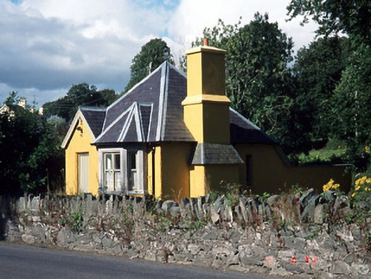 Muckross Housegate lodge · 1657 yd
 The Blue PoolGallery · 1.1 mi
 Blue Pool Nature ReserveWood · 1.2 mi
 McCarthy Mor CastleCastle · 1.3 mi
 Muckross AbbeyHeritage attraction · 1.4 mi
 Mass RockNamed rock · 1.6 mi
 Castlelough BayBay · 1.6 mi