What is recorded here
Mangerton Mountain watches Sheheree, where a forgotten circular enclosure buries itself beneath pasture and grass. The fort vanished from human sight but reappeared in an aerial photograph, proving that height and distance reveal what walkways conceal. The land keeps its own shapes, waiting for eyes sharp enough to read them from above.
In pasture, on a slight NE-facing slope with views S to Mangerton Mountain. A circular enclosure (diam. c. 30m) is visible on an aerial photograph (OSAP, 2121-2) taken in 1989. This possible rath is not visible at ground level.
Compiled by: Elizabeth Byrne, Ursula Egan and Sheila Ronan, Archaeological Survey Unit, University College, Cork.
Date of upload: 31 January 2011
The monument record does not grant public access. Check the route and ask the landowner before entering private land.
- What survives
- Recorded monument
Places near here
 Flesk CastleCastle · 530 yd
 Fairy fort / earthen ringfort in FaghbaneFairy fort / earthen ringfort · 626 yd
 Sheheree Bog Nature ReserveNature reserve · 844 yd
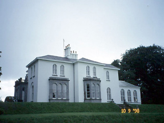 Coolclogher Housecountry house · 848 yd
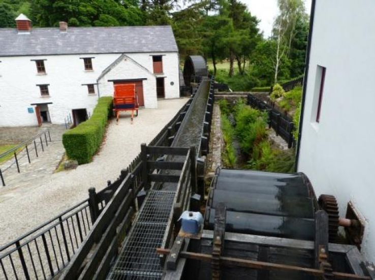 Flesk Mills (Corn) (Disused)Mill, unclassified · 953 yd
 IndicatedFairy fort / earthen ringfort · 1442 yd
 Lissivigeen Stone CircleHeritage attraction · 1.0 mi
 Mass RockNamed rock · 1.1 mi
 McCarthy Mor CastleCastle · 1.2 mi
 The Blue PoolGallery · 1.4 mi
 Killarney First World War MemorialMemorial · 1.4 mi
 Monsignor Hugh O'Flaherty MemorialMemorial · 1.6 mi