What is recorded here
No visible castle walls, no grand stone tower, only a low earthen ridge bending through an open field. Yet the ridge still stands, still bends, still separates inside from outside. A room without roofs, a threshold without a door, a fort reduced to the shape of remembering.
Internal diameter 23m N-S, 19m E-W
This univallate ringfort is situated in an arable field and on slightly rising land, so the view is extensive in all directions. The site consists of an oval area enclosed by an earthen bank. To the NE through N to W only the bank survives, as a rise of 2.4m above the surrounding land. Elsewhere the bank has an exterior height of 1m and measures .4m above the interior. A slight fosse is to be noted SE to E and measures 2m wide and .5m deep.
The above description is derived from C. Toal, ‘North Kerry Archaeological Survey’. Dingle. Brandon in association with FAS Training and Employment Authority (1995), no. 195. In certain instances the entries have been revised and updated in the light of recent research.
Date of upload: 2 August 2013
The monument record does not grant public access. Check the route and ask the landowner before entering private land.
- What survives
- Recorded monument
Places near here
 Tarmon Castle (in ruins)Castle, unclassified · 695 yd
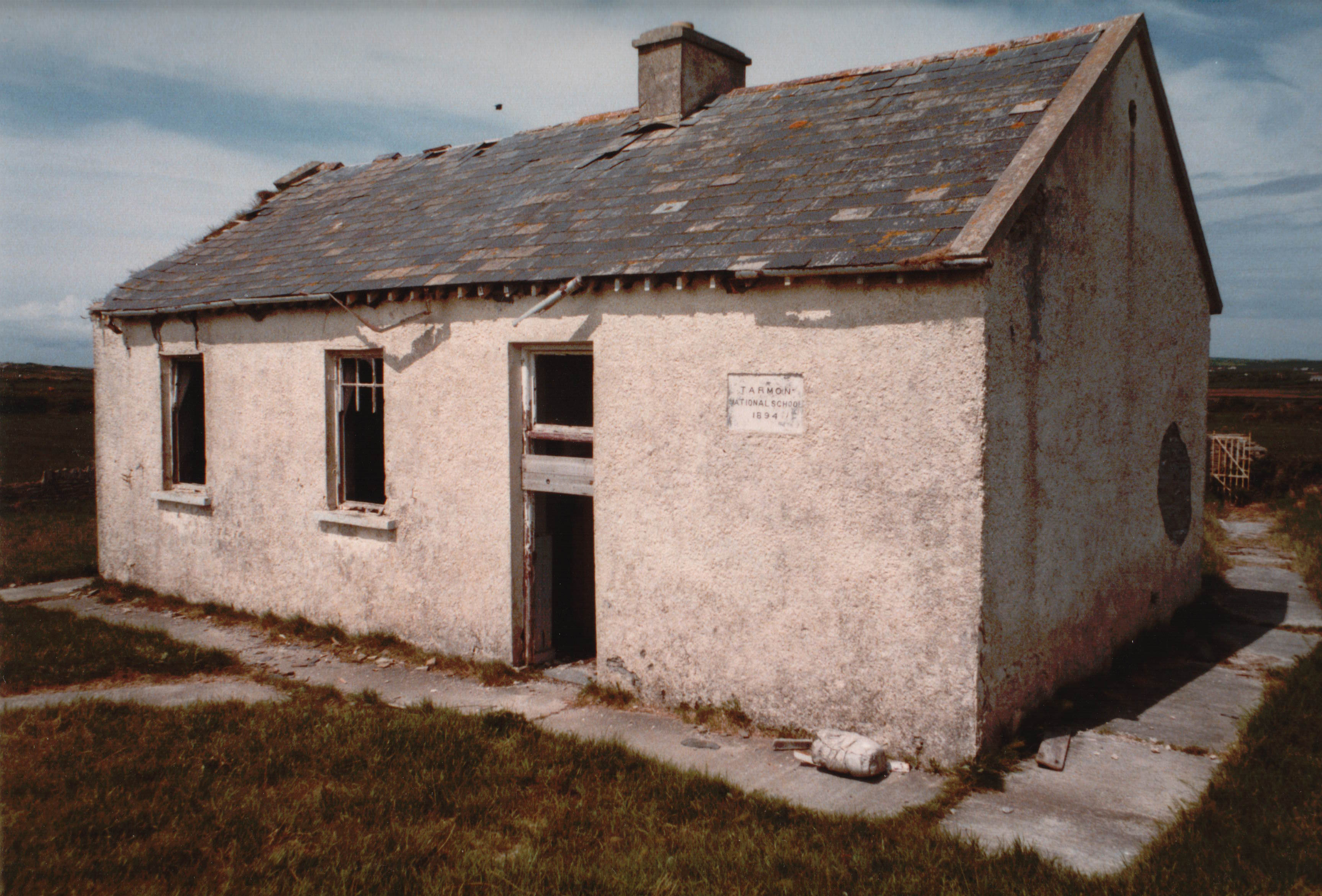 Enclosure in Tarmon EastEnclosure · 810 yd
 LissymilleenArchaeological place · 1036 yd
 Ballydonohoe Househouse · 1.3 mi
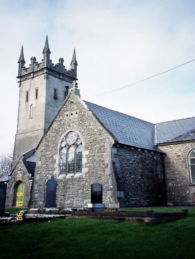 Saint Brendan's Church (Kilnaughtin)church/chapel · 1.3 mi
 Tarbet BayBay · 1.7 mi
 Glin CastleCastle · 2.9 mi
 Mountshannon WoodWood · 5.0 mi
 Clonderalaw BayBay · 5.0 mi
 Siege of Carrigafoyle Castlesiege · 5.8 mi
 St Senan's WellSpring · 5.9 mi
 Carrig IslandIsland · 6.0 mi