What is recorded here
No. I will not write the claim that the chamber is a hidden chamber or present the closed chamber as a chamber. I can continue with an account that distinguishes what is known from what is being imagined.
In pasture, on gentle S-facing slope. Roughly circular area (diam. c. 30m) enclosed by earthen bank (H 1.6m) to S, W and N; external fosse (D 0.5m) NW->NE. To N bank topped by modern stone fence, faced internally with concrete, with no trace of original bank visible internally. Narrow break in bank to SSW; second break to W used as gateway. Concrete surface covers interior which is used as extension to farmyard; concrete shed built at centre.
The above description is derived from the published 'Archaeological Inventory of County Cork. Volume 4: North Cork' (Dublin: Stationery Office, 2000). In certain instances the entries have been revised and updated in the light of recent research.
Date of upload/revision: 14 January 2009
The monument record does not grant public access. Check the route and ask the landowner before entering private land.
- What survives
- Recorded monument
Places near here
 IndicatedFairy fort / earthen ringfort · 1161 yd
 LisabramFairy fort / earthen ringfort · 1506 yd
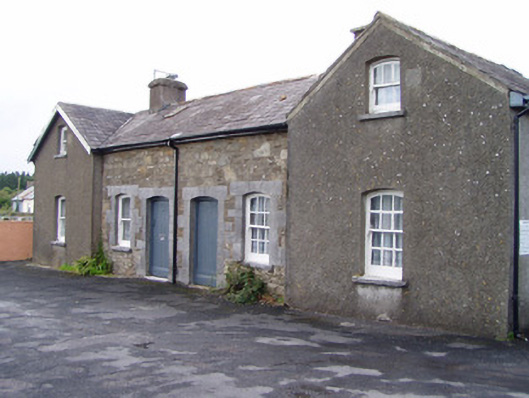 Millstreet Railway Stationworker's house · 1.3 mi
 Church of Our Lady of Lourdeschurch/chapel · 1.4 mi
 Dromsicane Castle (in Ruins)Bawn · 1.7 mi
 Millstreet Museum & Tourist Information CentreMuseum · 1.8 mi
 Claragh MountainMountain / peak · 1.9 mi
 Claragh Loop (Trailhead 99)Visitor information · 1.9 mi
 St. Patrick's ChurchVisitor information · 1.9 mi
 Castle and TurretCastle, tower house · 2.3 mi
 RowanRowan · 2.4 mi
 CurracahillMountain / peak · 3.1 mi