What is recorded here
Fairy fort in Shanagh, County Cork: a levelled thirty-metre earthen ring on an NE-facing pasture slope, marked as a circular enclosure on the 1942 OS map. It may have been a rath, a boundary, a seasonal shelter or a place people avoided; the earth still holds the shape of that choice. Now a silage pit sits in its centre and the rest is overgrown, but the circle remains clear enough to stop a vehicle, a thought or a story moving past without notice.
In pasture, on NE-facing slope. Hachured circular enclosure on OS 6-inch map (1942). Levelled; slightly raised circular area (diam. 30m); silage pit in centre; remainder overgrown and used as dump.
The above description is derived from the published 'Archaeological Inventory of County Cork. Volume 1: West Cork' (Dublin: Stationery Office, 1992). In certain instances the entries have been revised and updated in the light of recent research.
Date of upload/revision: 14 January 2009
The monument record does not grant public access. Check the route and ask the landowner before entering private land.
- What survives
- Recorded monument
Places near here
 CairnCairn, radial-stone cairn · 1314 yd
 OCrowleys Castle (in Ruins)Castle, tower house · 1.1 mi
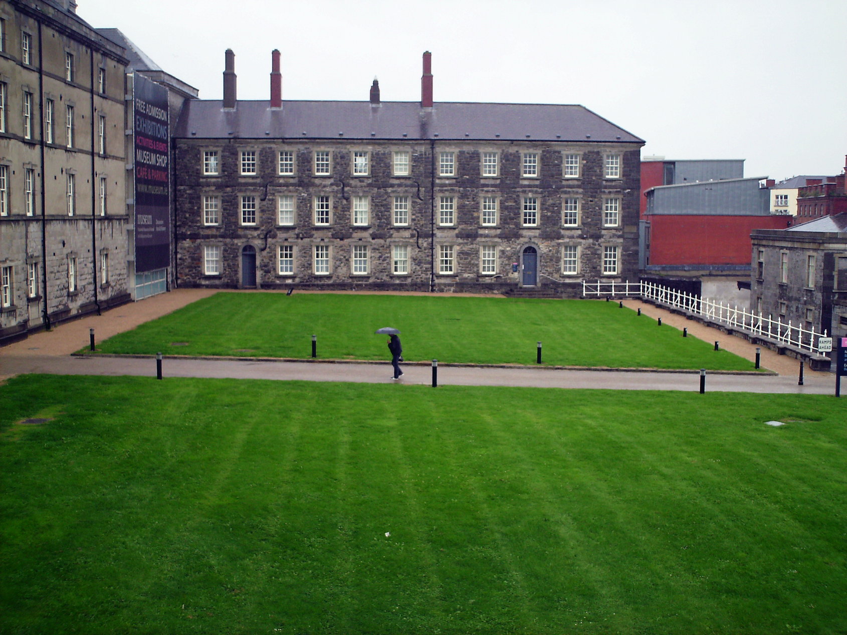 OCrowleys ChamberMan-made underground passage · 1.4 mi
 Castle RockNamed rock · 1.7 mi
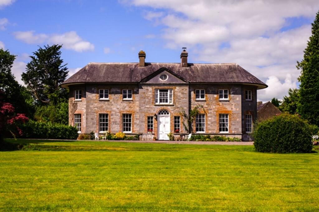 Country house in ArdcahanCountry house · 1.9 mi
 KilnKiln, lime · 2.2 mi
 Irish National Forestry FoundationNature reserve · 2.8 mi
 Kilmichael Ambushambush · 3.4 mi
 Kilmichael Ambush SiteMonument · 3.5 mi
 Funmanway Adventure LandHeritage attraction · 3.7 mi
 Mount GunneryMountain / peak · 3.8 mi
 Graveyard in Dunmanway NorthGraveyard · 4.0 mi